
Malham Cove
Oct 2012
>
 Oct 2012

 UK
>
England
>
North Yorkshire
Oct 2012
'Huge curving amphitheatre shaped cliff formation of limestone rock.', they say.

It's a 'Huge curving amphitheatre shaped cliff formation of limestone rock', alright, but more on that in a minute.
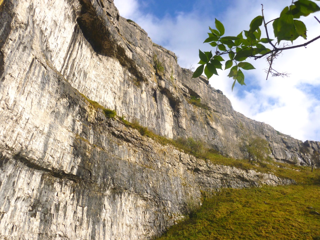
You'll need to get here first and that involves negotiating the narrow, unnamed roads north of the A65. Here is a popular destination and there's a chance of an encounter with a coach or two. Having survived that, however, head for the Malham National Park Visitor Centre where they've laid on some PAY & DISPLAY.
It's about a mile north via the village to reach the cove and the Pennine Way path will get you there. Two ways actually and a word of warning...
If you approach with the stream on your left, make sure you cross at the bridge or you'll find yourself within touching distance but trapped. You'll have to backtrack, that fast flowing beck too wide to wade.
This whole geological feature was formed by a 250-foot-high waterfall, the then torrential centre of which carved out the curve.
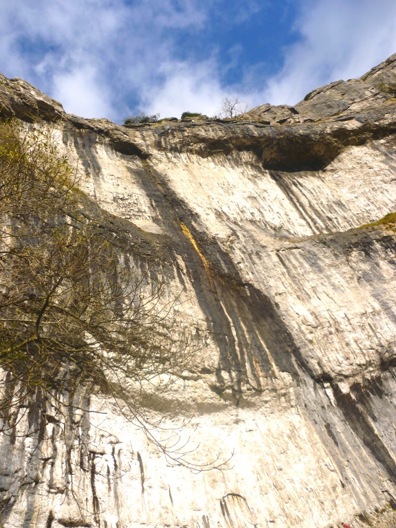
The river that used to be on top has calmed down a bit in the last 12,000 years and now goes underground a mile north. It emerges at the bottom in the form of the stream that you've just followed on your way here.
Heavy rain in late 2015 meant that the waterfall was briefly reopen for business, the first time in 300 years it's reckoned. One of the local inhabitants, when questioned for an ITV Yorkshire news item, said something like... "I've lived here all my life and never seen that before."
Well yes, you wouldn't have, would you? Not unless your name is Methuselah?
You can get up it from the left-hand side as you're looking at it. You can't get up it the way Alan Partridge did in S1E5 of The Trip. That looks to be filmed at Gordale Scar - thanks N Chadwick - and is an example of TV creating an illusion and shattering reality.
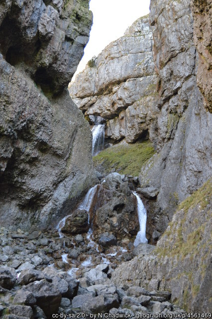
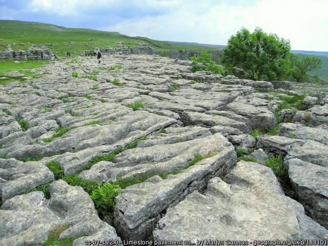
That episode actually gives quite a good geological explanation of the Clints and Grykes - thanks Martyn . The photography has also been delegated, this inadequate, little lens not really doing the limestone pavement justice.
While you're up there, enjoy the fine, if a little hazy, view down the dale and back to the village where there's a chance here to get the binocs out and check the car's not been stolen.
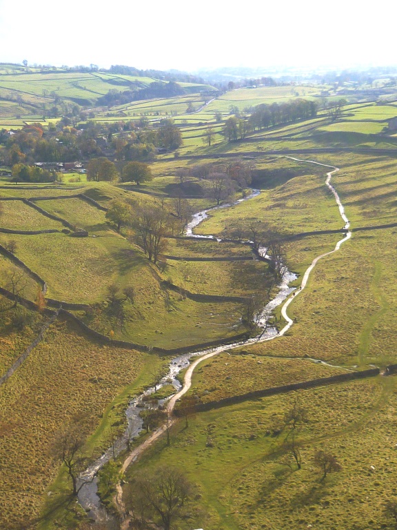
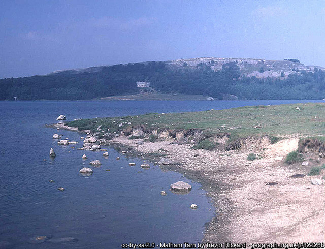
Once you're convinced the car's fine, a couple of options. Head a couple of miles north to Malham Tarn - thanks Trevor , England's highest lake no less. Just south of it is where the aforementioned water goes underground, fascinating stuff!
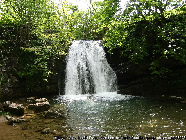
Or\and, head roughly east towards Gordale Scar, a limestone ravine but this one has 300-foot-high cliffs. You can scramble up it if you like or just turn right to Malham returning by Janet's Foss - thanks Martin , a small waterfall.
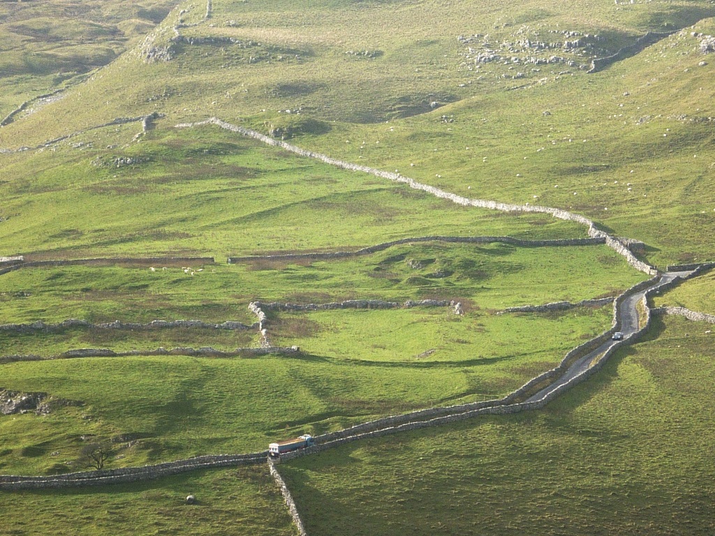
Either way, there's a lot of this sort of thing going on down below before you get back to sea level.
On your way home, on the now hopefully coach free road, a pot of gold in a local field. This was the best rainbow ever!
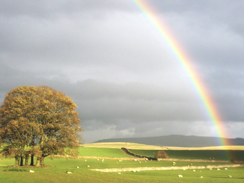
At least the best one since that one when Zippy learnt all about other people's feelings and that.