
Barnard Castle
Jul 2011
>
 Jul 2011

 UK
>
England
>
County Durham
Jul 2011
Map - OL31 - NORTH PENNINES - Teesdale & Weardale.
Distance 8 miles Strenuousity 4.

What's the best river in North East England?
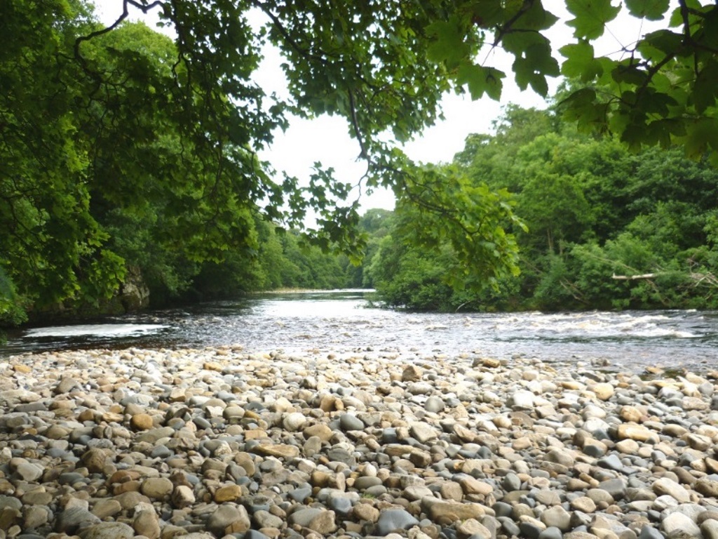
The Tweed? Granted, it finishes in England at Berwick-upon-Tweed but the vast majority of its 97-mile course is through the Scottish Borders so no, the Tweed doesn't even count.
The Tyne? By the Tyne, it's assumed you mean the stretch from the confluence of the North and South Tyne rivers just north of Hexham. Hexham is only 20 miles from Newcastle and you can get there on a train so no, not the Tyne.
The Wear you say? It rises right enough in the remote North Pennines, flows through the picturesque Wear Valley and takes in the cathedral city of Durham before greeting the tide 60 miles from its source at Sunderland. Better but not right.
So that just leaves the Tees - thanks Uncredited ? Home to one of Europe's busiest container ports? A murky chemical overflow pipe that drove the seals from its mouth?
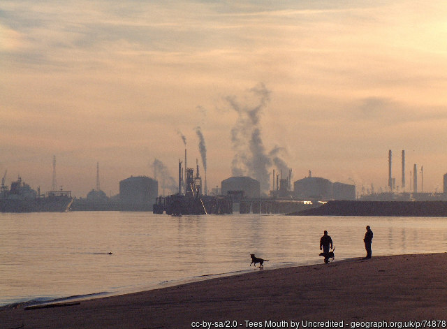
Yes, but you're forgetting that it rises in an even remoter part of the Pennines. Cauldron Snout and High Force, England's highest and biggest waterfalls, whatever the difference is, are in Teesdale, a designated Area of Outstanding Natural Beauty and, as should be known by now, they don't hand them awards out willy-nilly.
It's nearly 90 miles long and Sir Walter Scott even wrote a ballady poem about some murderous doings near it, or something.
That all adds up to the Tees being the best river in North East England. Oh! And the seals are back.
Barnard Castle is officially in County Durham but belongs to North Yorkshire, historically and visually. It's one of the nicer towns in these parts but pretty marketplaces were not a priority in its rougher looking neighbours whose main hobbies were mining.
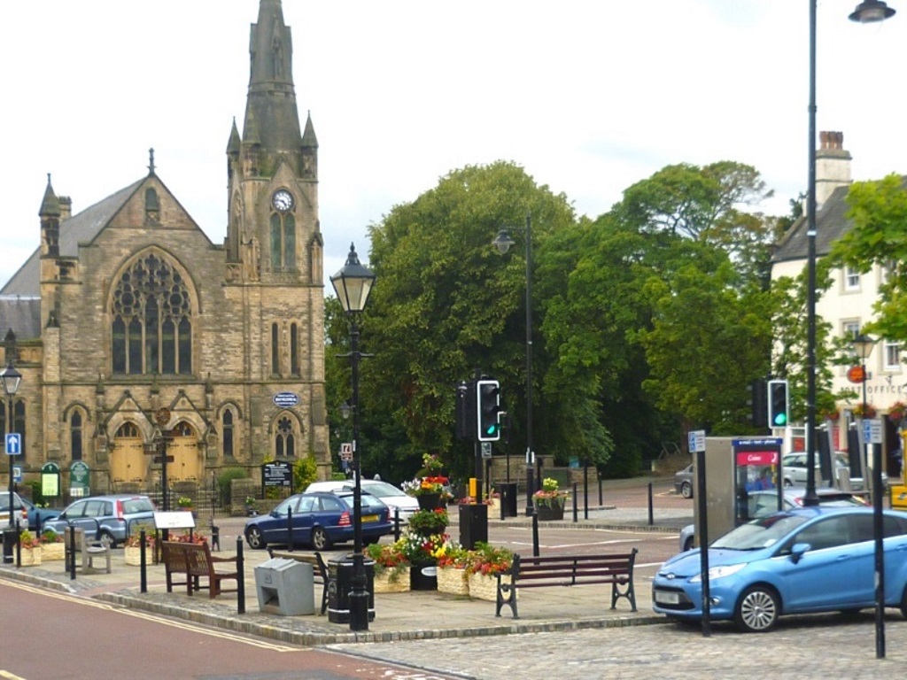
It also lets the River Tees through, marking the start of a plainer easterly course than its wilder, northern stretch.
The people are friendly too. Two conversations with strangers at the supermarket checkout both involved crisps, Bob's specialist subject. The first with an elderly lady surprised that they came in Marmite™ flavour and the other with a mum and her trolley-trapped toddler, a family pack of McCoy™s being used as a drum.
If you've not already packed your lunch, it's advised you stock up here. The village of Cotherstone is the only possibility en-route but on the day of visiting, the Red Lion and the Post Office were closed at lunchtime. The Fox and Hounds might have been open but it was doing a pretty good impression of being not.
Most of the eight-and-a-bit miles look to be near the river so, snacks on board, grab your OS OL31 and let's wander north-west up and then south-east down the Tees, the best river in... yeah, yeah, we get it!
The Hole in the Wall car park has cheap all-day parking. It's behind the Black Horse pub on Newgate and the Long Stay parking signs will get you there. Make your way, via Queen Street, to the bottom of Galgate, the main street, and face the Methodist Church.
Follow the sign for Scar Top keeping the church and the castle on your left. Bear right past the play area and start to go downhill, this is north-west and river bound!
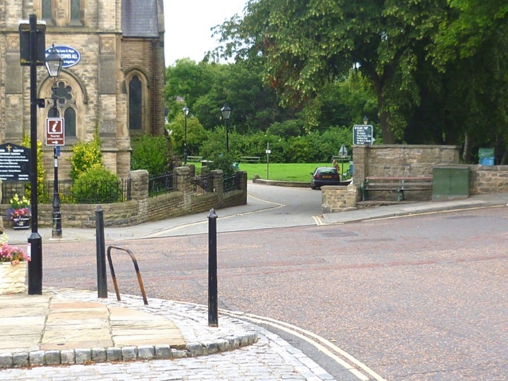

Continue past a couple of benches offering quite frankly, disappointing views. Take the metal gate on the left, which is a short downward alternative to the road that you'll be walking back up later. There was a rabbit in here who looked as though he'd much rather be hanging out with his mates back at the benches.
Make your way down to the bridge and cross it. That's the River Tees below you there, the best river in North East England.
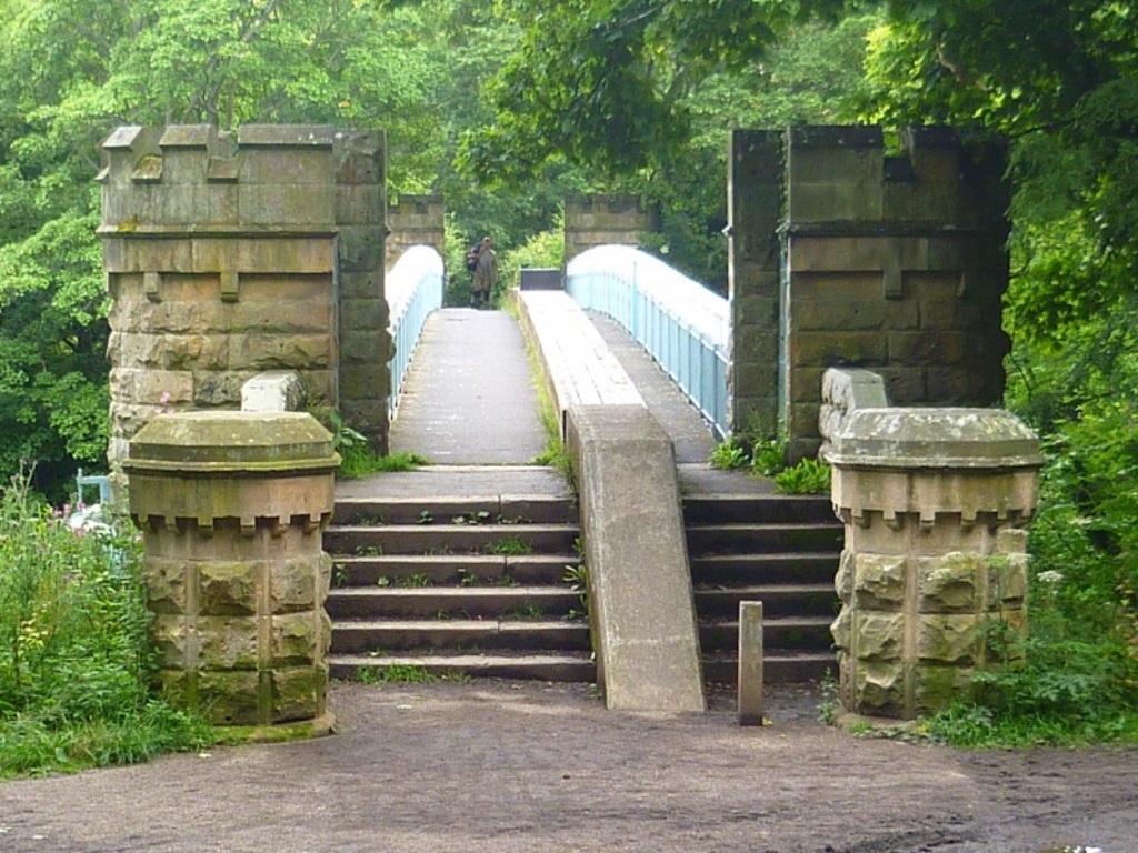
There's an excellent photo opportunity halfway across the bridge looking back at Bernard's castle. Bad light and an inability to navigate a new camera's menu mean you'll have to take your own snap, Bob's was, quite frankly, rubbish.
At the end of the bridge turn right and unless you're visiting a naughty nephew in the Young Offenders Institution, turn right again into what is advertised as a private road.


Go through the gate and... LOOK! A TINY HORSE!
Follow the Teesdale Way until you meet some trees, this is Pecknell Wood and there might well be more horsey goings on in here.


When the bridlepath starts to veer left, take the path on the right and go over the stile.
It may not have been mentioned that this walk pretty much follows the Teesdale Way. Given its signposted nature, you'd have to be a complete idiot to lose your bearings but more on that in a minute.
Unfortunately, you'll have to leave your horse behind as they're not allowed beyond the stile.

If you can get a horse over here, its name is probably Pegasus. Harvey Smith in his prime would have stuck his V's up at this obstacle, health and safety gone mad etc.
Take the steps up through the trees to reach the remains of the old Tees Viaduct.

The Darlington to Stainmore, in Cumbria, industrial railway line used to run over here. The line was closed under so-called 'Dr' Beeching in the 1960s and the viaduct was demolished in 1971.
Look across to the structure opposite and admire the engineering while whistling along to...
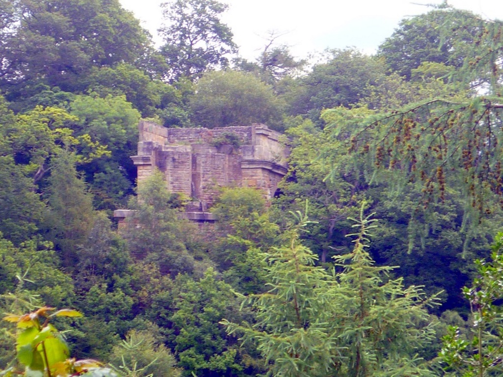
'Oh Doctor Beeching what a naughty man you are.'
Follow the path out of the trees and negotiate a couple of gates like this one. You will soon arrive on a farm track and unless you're on first-name terms with the farmer and his wife, take a left as you approach their house.
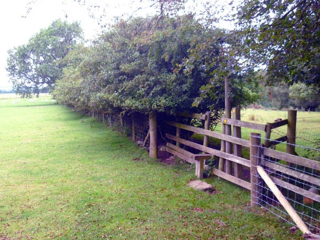

There's a pattern emerging now, pass through a gate then keep right with the river below you. Do this a couple of times until you reach this gate, which leads into some woodland.

There's not been too much contact with the river so far but it's down there somewhere because you can't half hear it.
Emerge from the trees having passed a wooden structure, which may or may not be used by people shooting at things.


Follow the path upwards to a grassy terrace, which is a good place for a pause. Down to the right is a strange circular island.
Man-made? It's known not. Its purpose? It's known notter. What is known is that some crisps were fancied, Mmmm, Marmite™ crisps.
The bulls behind had acknowledged SlyBob's presence at a distance. Once the savoury champions were ripped open, however, they grouped and started to approach.

The flimsy fence didn't worry too much, it's probably like 10,000 volts or something but did they get a whiff of the yeasty extract on the wind?
It was always thought that Marmite™ was suitable for vegetarians but was there some boiled bovine flavouring that had caught their cannibalistic attention? Reading the ingredients, Sunflower Oil, Citric Acid, some powders and... Potatoes? Potatoes in Marmite™?
They say there's nothing like a walk in the country to clear the mind and it certainly cleared Bob's, for about 20 seconds. Potatoes in Marmite™? Ah, lightbulb, that'll be the crisps. Sadly, this is 100% true.
A couple of more gates follow, keep to the right after passing through each, remember. You'll arrive at an outbuilding, which looks like a halfway to the abattoir house for the local livestock.

This lonely looking fella either knew this already or had just been banished from the flock, he certainly looked a bit sheepish.
Keep to the right and continue until a nice-looking house appears ahead. Head for the stile in the field's top-left corner keeping an eye out for any chickens that might be going about their business.
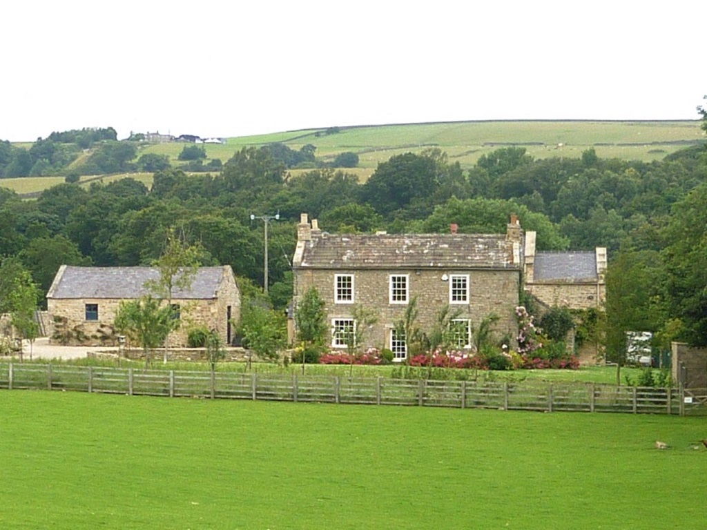

There's some serious breeds here and one looks like a Leghorn, possibly. Whether kept for a hobby, eggs or Sunday dinner, they look fantastic but get too close and they'll show you some attitude.
Follow the clear track away from the house whilst telling the local crows to keep it down a bit. The track becomes a hedged lane as the village of Cotherstone is reached.

If you need a shed, Hodgson's Quality Timber Buildings on the left can sort you out. They can even stretch to a pavilion or a summerhouse, go on treat yourself. It's a sizeable operation and looks like they employ half the village.
Turn right onto the main road and follow it round to the village green for a sit-down. As mentioned, there's a couple of pubs and a Post Office further on past the primary school but only the Fox and Hounds seemed to be open for business.

You'll have to wait until 2 PM to sample Cotherstone's Post Office's home-made sausage rolls, tempting invitingly from under a tea-towel they were, not shown.
If you're of a certain middle-age, you might remember a lady called Hannah Hauxwell?
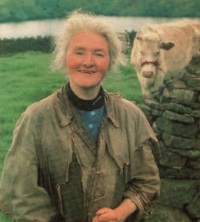
She was the subject of an early 1970s Yorkshire TV documentary that showed her solitary life on an isolated, ramshackle farm about five miles west of here. Breaking ice to get at running water, Too Long a Winter had switchboards jammed with offers of help.
Her gentle and innocent nature endeared viewers and the exposure transformed her life. On her invitation to a Buckingham Palace garden party, she said...
It was all very dainty. There were little pancakes and tiny cakes. Which, for the occasion, I suppose was quite nice, but if you’d been doing half a hard day’s work, it would have left quite a gap.
She retired to Cotherstone and died in January 2018 aged 91. Hard as nails was Hannah.
Follow the main road through the village until the buildings run out after the Fox and Hounds pub.
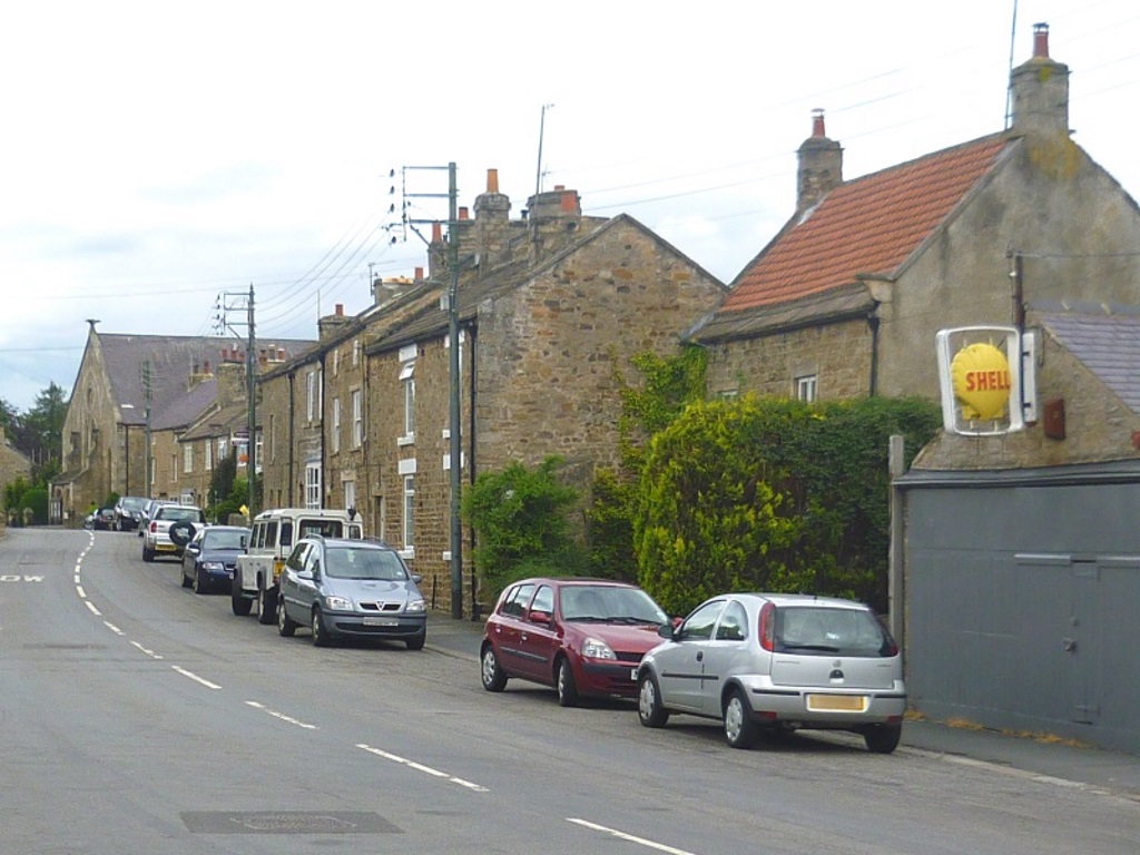
Careful now, there's not much pavement here and just before the road sweeps right over the bridge, take the signposted footpath down through the wall. Behind you, there might be some tiny, disinterested horses, not shown.

The path drops down to the River Balder, which upstream is where Hannah used to break the ice.

Keep right and after passing behind someone's back garden, turn left and pass the small football pitch and the even smaller parking area.
Carry straight on until you get to the bridge that crosses the Balder. Just before the bridge, you might notice what looks like a memorial up on your right?
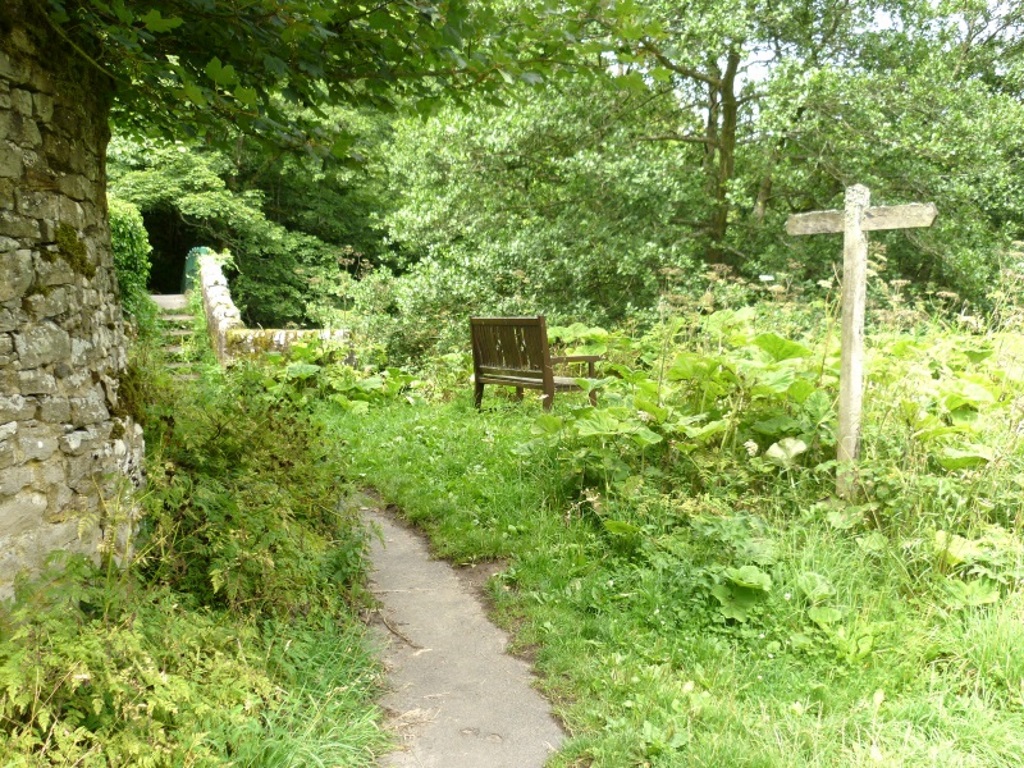
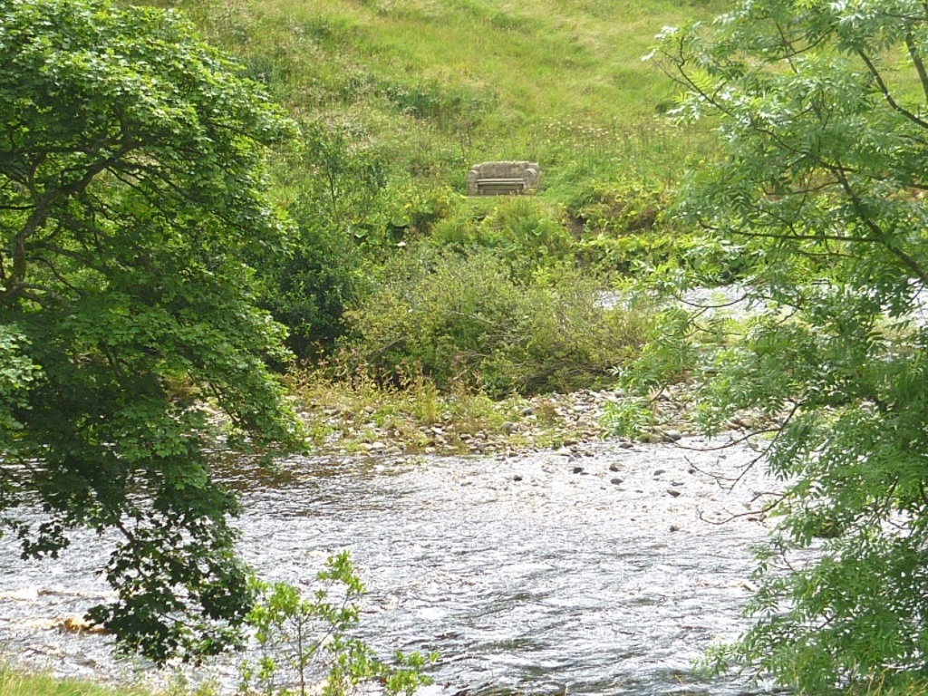
There are some theories out there but there's no real idea so take yourself up there and find out for yourself.
Once over the bridge, turn right and follow the foliaged path to Cotherstone Bridge. This is now back at the Tees, the best river in... yeah, yeah etc.

Over you go and keep right to head back south-east towards Barnard Castle by the opposite bank.
There's a potential diversion to Cotherstone Crag up to your left but the word Private on a sign puts anyone right off that idea.
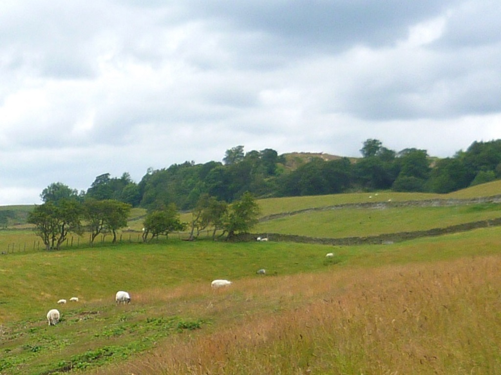
There's not been too much contact with the river so far and the map indicates a closer relationship on this stretch.
Hmmm, so much for that idea. The path now rises through some trees leaving the river below. There's a view back to Cotherstone Crag and a nice one through a gap down to the river.

Looks like it's time to really learn how to read them map contours.
Now, this is where things got a bit complicated. The next field had some cows in it.

No problem, keep to the trees on the right and move into the next field. The next field had more cows in it, a lot more cows. Once again, keep to the right but these cows were curious and slowly started to approach.
Wary of Daily Mail warnings that millions of people are murdered each year by cows, it's a bit of a worry to be boxed into the corner of the field. On the way to this predicament, a wooden gate had been passed so the best plan of action here was to backtrack and jump over into the trees beyond. Mistake.
Crawl through the barely identifiable gaps in the branches ignoring the small animal skeletons - what's happening in here of an evening? Eventually, clamber clumsily over a wall taking care not to impale your thigh on a thick, spiky branch.
Alternatively, you could just walk diagonally across the previous field, ignoring the harmless cows for a couple of minutes to follow the clearly signposted, and for that matter, mapped path.
Either way, you'll arrive at a small bridge\waterfall combo to negotiate before coming back up to some friendlier cow-filled fields.
Pass without incident through a couple of gates to East Holme Farm and turn right for the stile at the bottom.
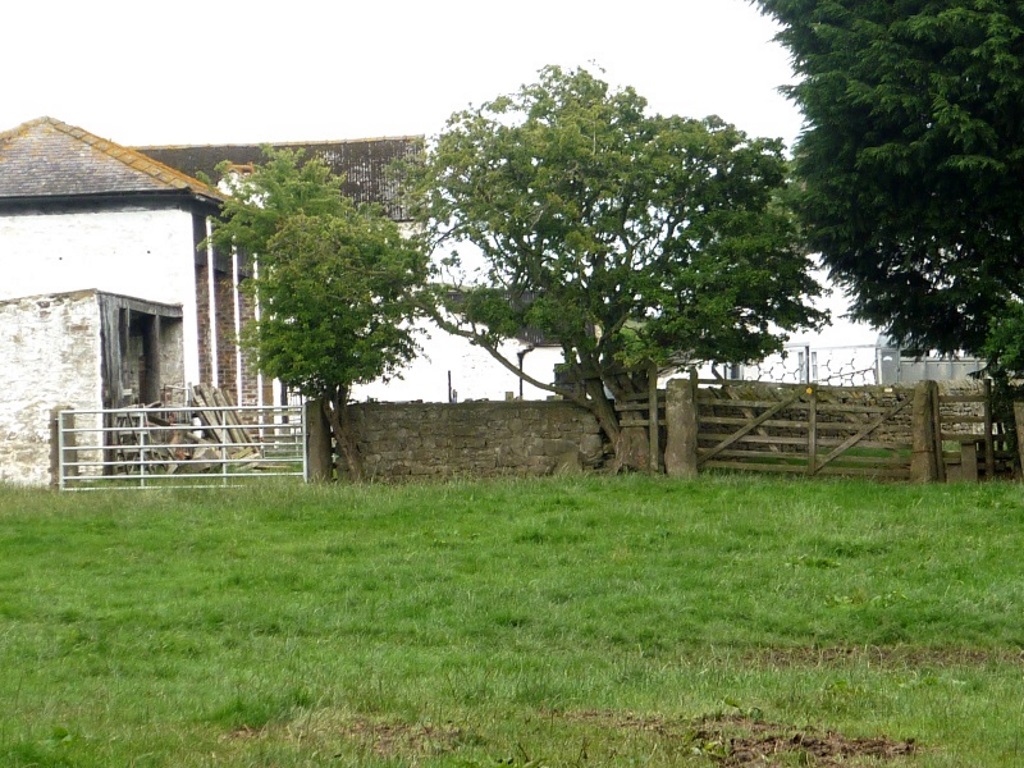

There were a couple of chunky, rare breed sheep in here but they soon scarpered back towards the house. Attractive as they were, nobody wants to linger too long in what is essentially someone's back garden.
The path now continues straight ahead past West Holme Farm through three (or was it four?) fields. Before you start to think you'll never see flowing water again, stop in the field that has this stuff growing in it.
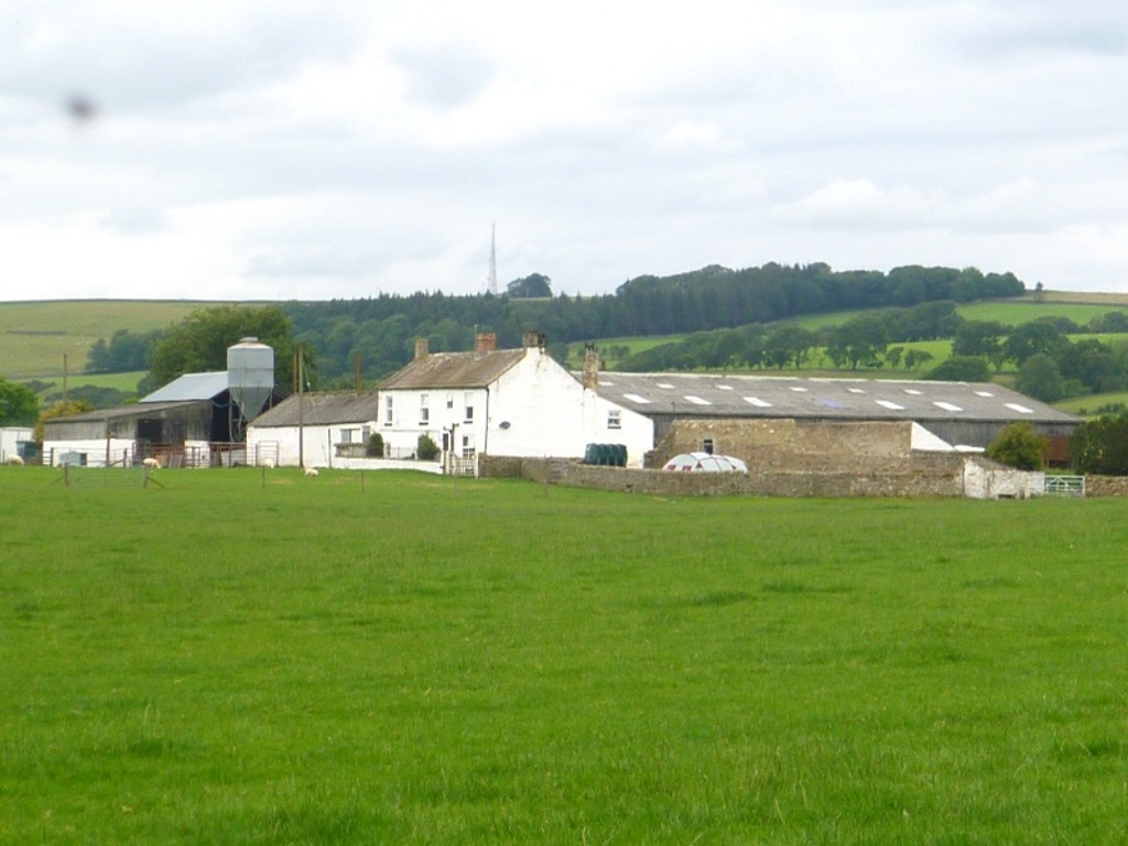

There's a gate on the right that cuts back down to the river.
Emerge into an open pasture and make for the river. No particular reason, it's just time for a sit down.

The path then accompanies the river back to Barnard Castle for a couple of miles. Watch your feet, though, a couple of slippery sections could see you plop 20 foot or so into the soup.
Despite this being the only longish stretch within burbling distance of the water, there was nothing of note to report, including working batteries in a camera so no final, visual flourish.
On arriving at the bridge you crossed earlier, take the road up back to the play area and the castle.