
 UK
>
England
>
North Yorkshire
Apr 2015+
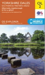
Map - OL2 - YORKSHIRE DALES - SOUTHERN & WESTERN AREAS - Whernside, Ingleborough & Pen-y-ghent.
Distance 6 miles Strenuousity 2.

You had your brunch yet? What did you have? Cronuts? No thanks, Bob's watching the old waistband so just had a couple of peacherines.
That'll be Breakfast and Lunch, Croissant and Donut, oh dear, and Peach and Nectarine, which is just trying too hard and actually fails on two levels.
Yes, of course, the portmanteau word there, the often imaginative morphing of prominent sound parts to make a new word with an implied meaning.
Some are better than others, brunch is a good one, Cronut not so. The good ones will eventually make it into the dictionary where lovely Suzy Dent will give you the thumbs up for an eight.

All of this because of the Yorkshire Dales and the village of Burnsall and no, that's not an example of one although if you were to go all Olde-English, 'Bri-nook', from 'Bryni's Nook', whoever he was, might just qualify.
No, this stems from an observation made back in 1999 when, just happening to be passing, there was nary a soul here. Now the place is packed and a lot of them look to be having a stay-cation or a week away in an overpriced cottage if you'd rather.
This moderate, circular six-or-so miler heads north-west to Grassington by the banks of the River Wharfe returning by the opposite side taking in some waterfalls, of sorts, and an old church.
Grab that OS OL2 and lace up them boots although you might want to check the weather for mi-zzle. Set that adult-escent in you free and reward yourself in the Red Lion afterwards with an alco-pop.
Alternatively, you could just go for a relaxing walk on a nice day then have a pint.
Starting at the Red Lion - thanks Ian , if you're not staying there overnight you'll need to find some parking.
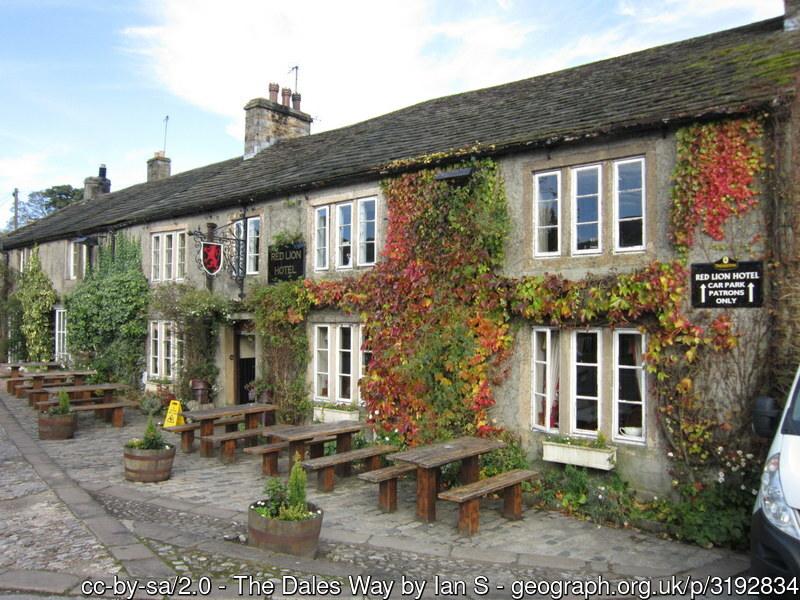
There's a decent-sized PAY & DISPLAY nearby but this is a popular place and you might have to go bumper to bumper with the skinflints along the road by the broad riverbank.
Alternatively, you could visit here in 1999 when from memory, the place wasn't nearly so popular. Saying that, ' I was dreamin' when I wrote this, forgive me if it goes astray.'
From the Red Lion, head for under the bridge and turn left to join the Dales Way at the river.
As you start off, you'll pass a load of people having a right old time in the big beer garden but not to worry, we'll be ending up back here in a couple of hours or so and you can join the party later.
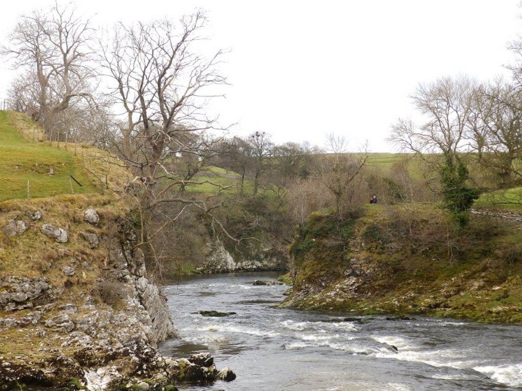
Follow the River Wharfe for a while and after half a mile, it turns into this sort of thing. Don't panic! This is looking back for artistic effect so no, you're not on the wrong side of the river.
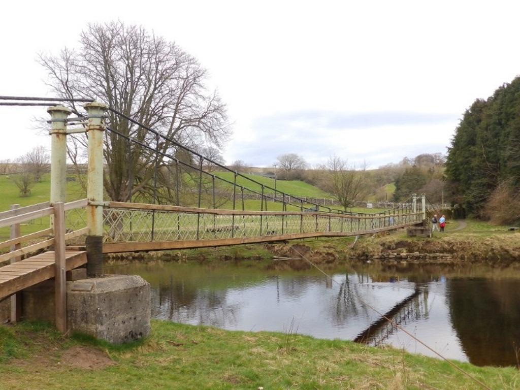
There's a suspension bridge a bit further along that needs to negotiated. It's single file only and a very un-British system of crossing appears to be in operation...
Just barge over it in the slipstream of your fellow ramblers and their straggling family.
No 'merge in turn' here or a courteous flash of the lamps. You'll be here a good 10 minutes if you don't take the initiative, some people really are quite rude.
Turn left over the bridge and follow the broadening riverbank. There's a minor distraction in the shrubbery on the right, a housing estate for the local rabbit population.
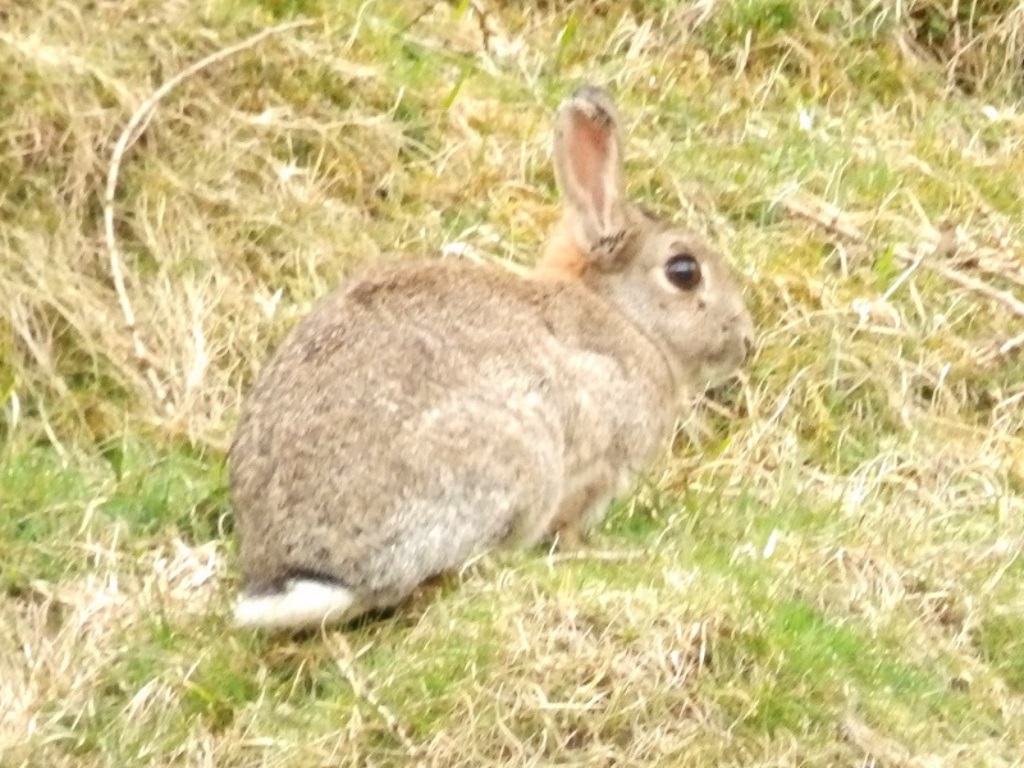
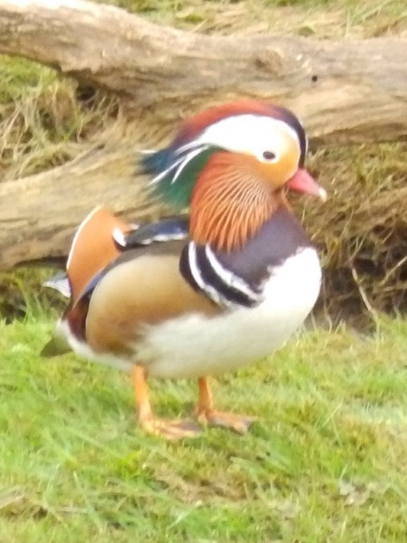
Oooh, hello! This fella only went and flew in on the opposite bank, an unmistakably male mandarin duck.
Native to East Asia, it's unlikely he'd just made the trip this afternoon. No, they were introduced here in the early 20th century and unlike your Peking Duck, it's reckoned there are about 7,000 of them in Britain.
That makes this a relatively rare sighting, especially for this part of the country.
As for the Peking Duck, there are approximately 50,000 in the restaurant windows of Stowell Street alone. Stowell Street? Newcastle-upon-Tyne's 'Chinatown'.
You should have passed some stepping stones and you should have just walked through a fish farm. It's said 'should', there's absolutely no recollection. They're both definitely there, all of the maps have been checked, printed and digital, so it just goes to show how distracting a mandarin duck can be, eh?
There's a huge dilemma to be had ahead here. Follow the Dales Way through the wall and across the field to Grassington or keep right on what's now a road?
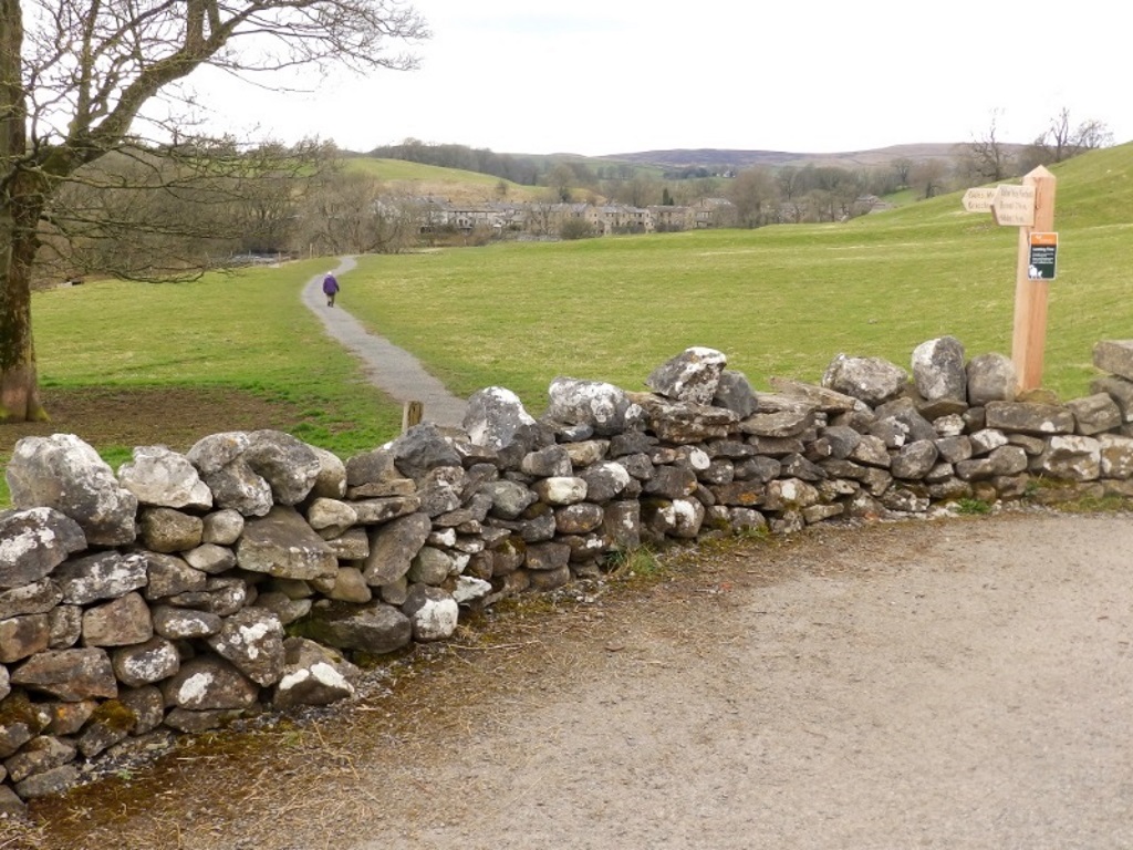
If Grassington isn't your cup of tea, follow the field to cross the bridge to Linton. If you do fancy a bad cup of tea, keep on the road, it's quicker, probably.
Those stepping stones, by the way, take you over the river to Linton Church but more on that in a minute.
Follow the road up then turn left onto the wider road towards Grassington.
You'll pass on the left the National Park Centre car park, which could serve Leeds-Bradford airport. It's mostly overflow and if you're here for any amount of time, that'll be £5 to get bogged down in a field, then?
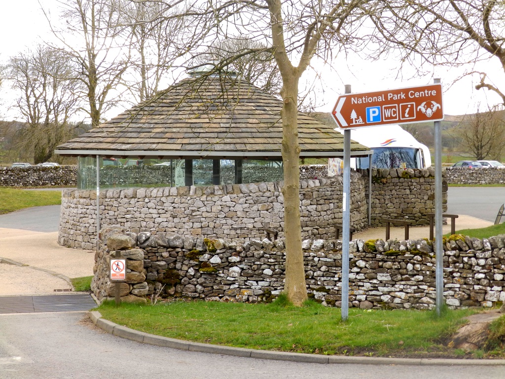
You can walk around Grassington in 10 minutes if pricey, northern knick-knacks aren't your thing but the five pubs and a tiny tandoori might just warrant a night or two here.
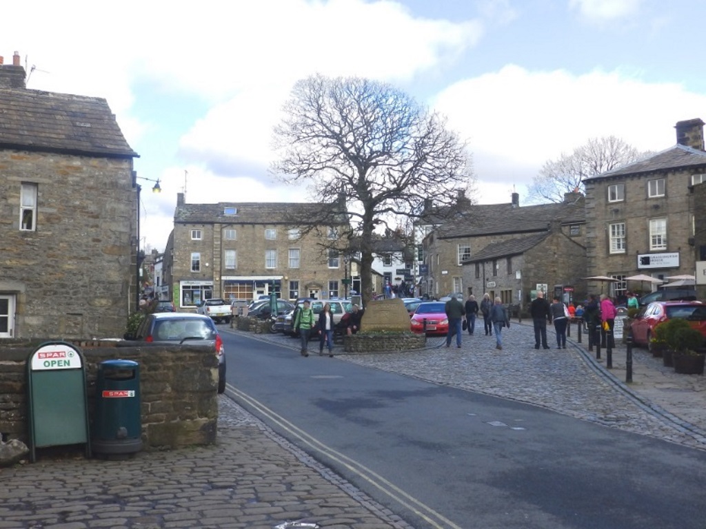
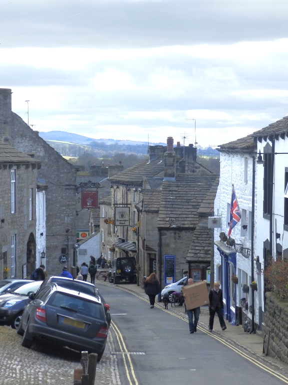
Tired of the tea and knick-knacks, head west on Station Road towards the river.
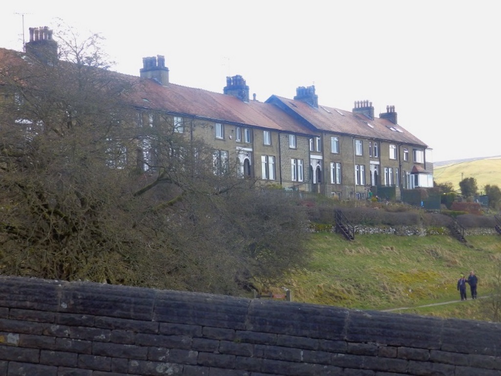
Head down the hill passing the medical centre on your left. When the road kinks left just before the bridge, take the waymarked path on the left that runs below this terrace.
The large, man-made weir along here used to feed the local water mills. It now seems to provide the environment for nutjobs to do some 'wild' swimming, just not today.
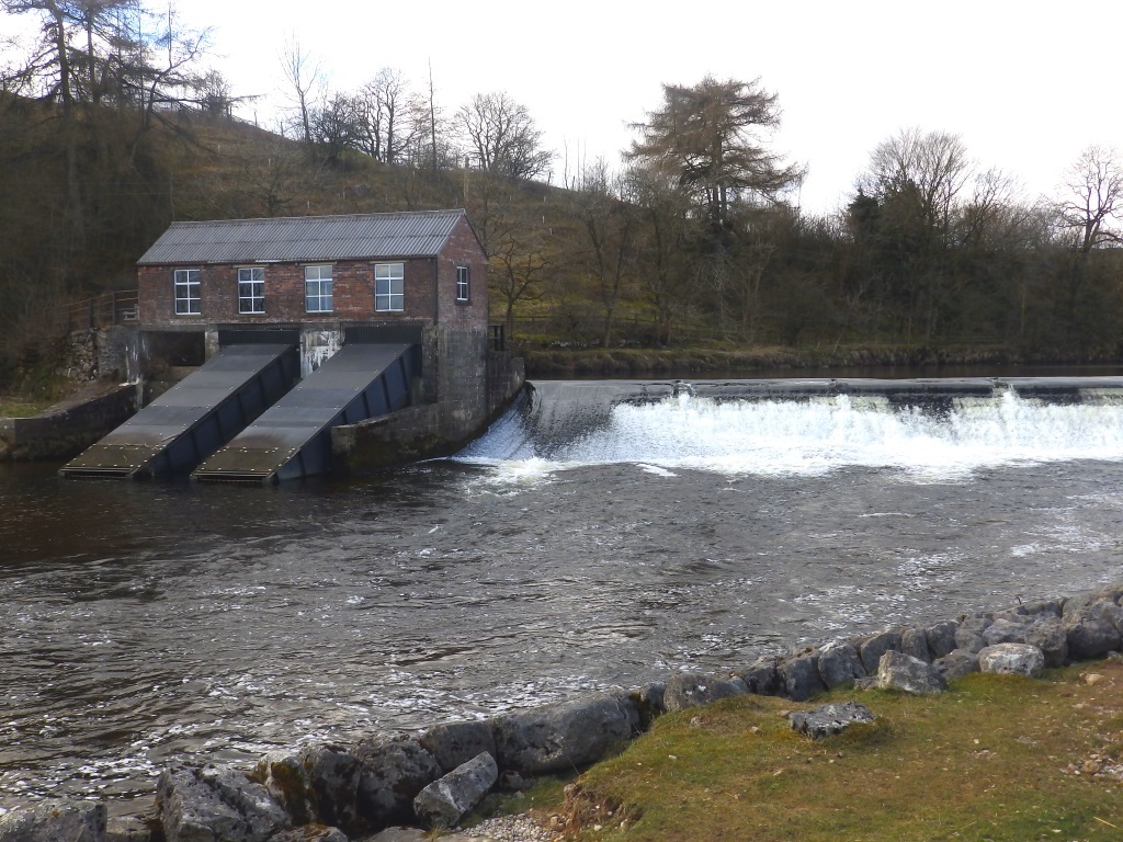
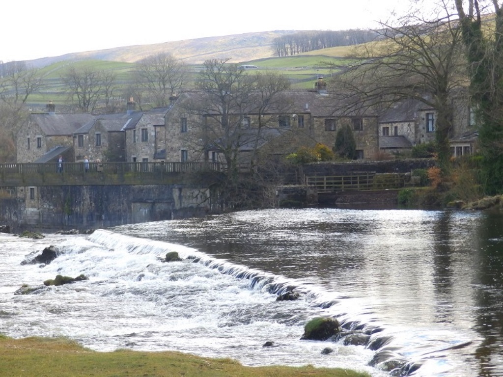
Head towards the footbridge that you should see straight ahead.
Head over the bridge to Linton and see how the weir runs into the natural waterfalls where the River Wharfe all goes a bit crackers.
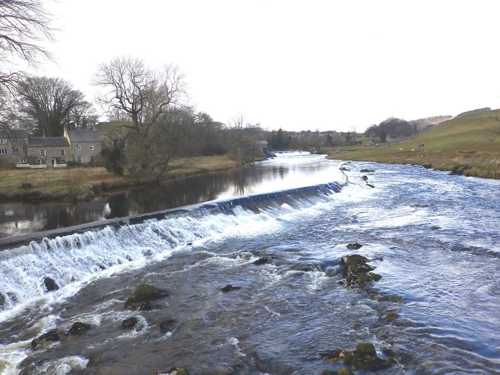
The spanned falls are particularly impressive after a deluge i.e. most days and these chaps put paid to any hopes of paddling down the entirety of the Wharfe on a nice one.
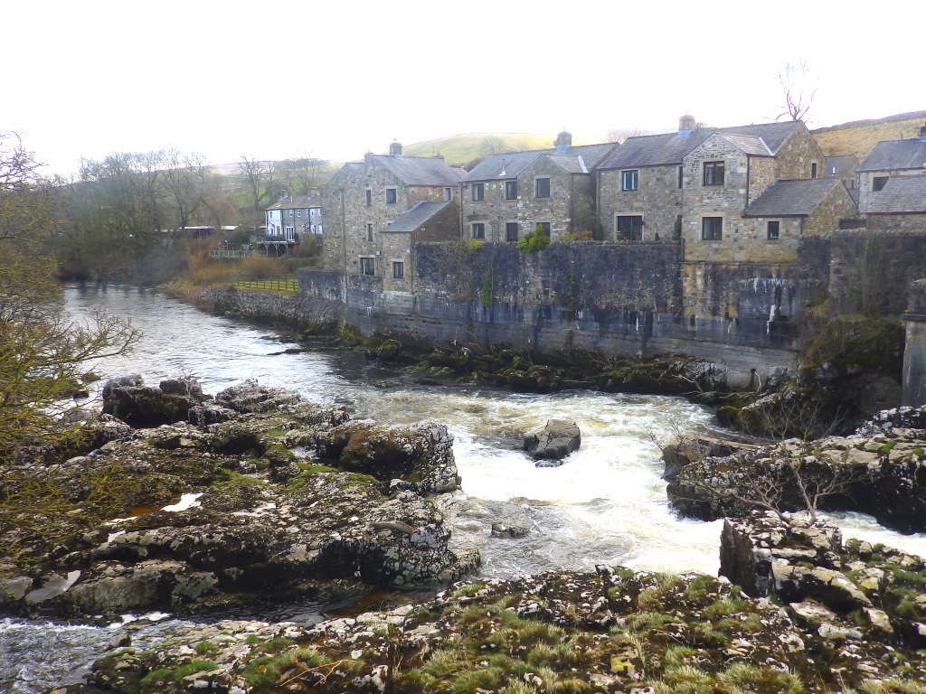
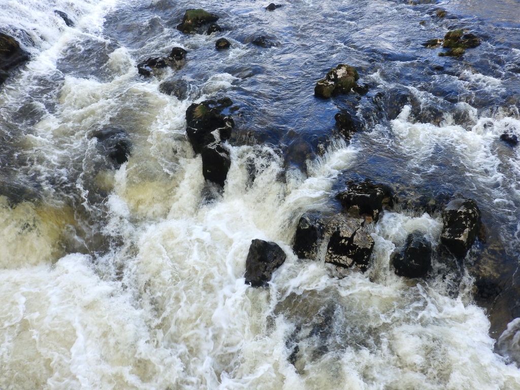
At the end of the bridge, divert around some housing and any clueless kayakers who aren't nearly so knowledgeable.
Emerging behind the riverside dwellings, turn left and head towards the church.
If you're not the slightest bit interested in that sort of thing, look for the pointer to the path through the farm, it's not long after the small parking area.
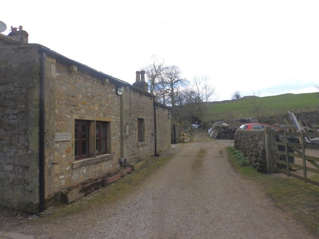
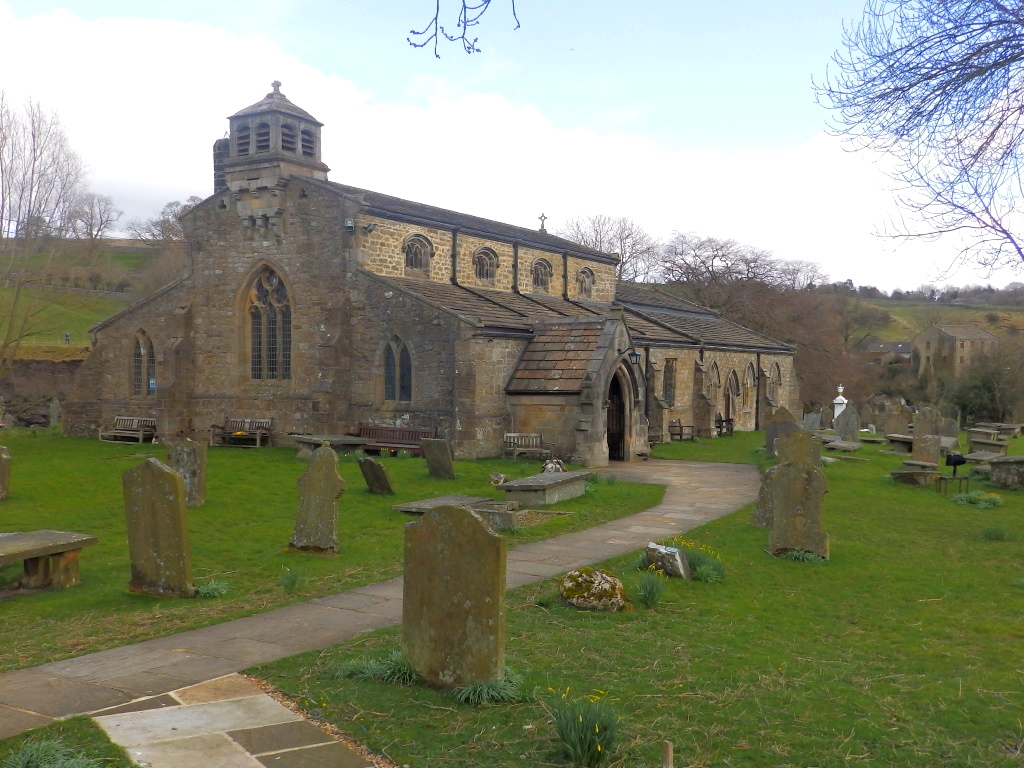
Churches don't come much older than this one and an admittedly unknown bit dates from the 12th century. It ain't going nowhere soon neither, Tesco™s can't touch this site, as they have been known to do, since it was Grade II listed in 1954.
Incidentally, if you're passing through here on your way back to Burnsall, the graveyard is literally a dead end. You'll need to backtrack and take a left at the farm.
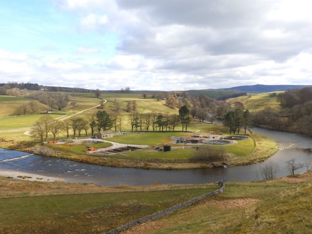
There's some slight uphill lugging to be done with a reasonable view of the river and the local waterworks your reward. Down there somewhere are the stepping stones of which there was no recollection.
Carrying on, you'll emerge onto a minor road. It's said 'minor', the good folk of Burnsall and Thorpe, to where it's now headed, no doubt consider it fairly major.
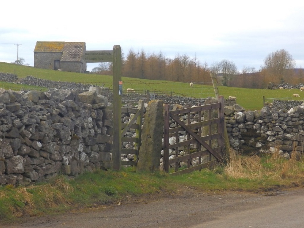
Cross, go briefly right then left at the marker to continue on up through more fields.
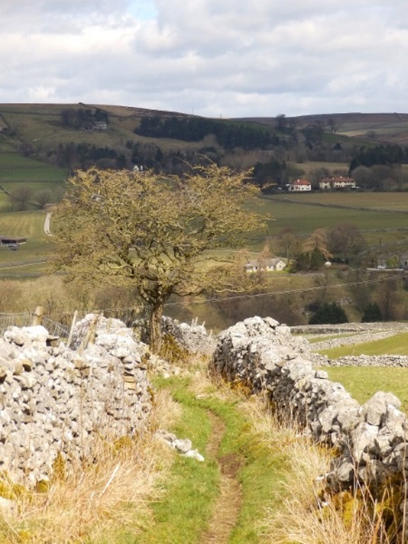
The fields lead into a walled track, looked back down on for more artistic effect. Turn left at the tree at the top onto an equally walled but broader lane and follow this for half a mile to the village of Thorpe.
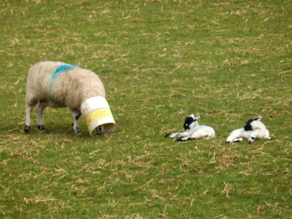
Along the lane and much to the amusement of some kids, there's a sheep with its head in a bucket ha-ha-ha!
Shouldn't laugh really, it's actually prevention against scratching and biting, physical symptoms of an exanthematous disease caused by a parapoxvirus, probably.
Turn right where the lane meets another to arrive in Thorpe. It's worthy of a mention, perhaps, for an incident in 1990 when a flock of locals bounded over to Burnsall and 'allegedly' stole their maypole.
Burnsall reciprocated only this time with a chainsaw and there's a water-proofed, paper 'plaque' here to commemorate the antics.
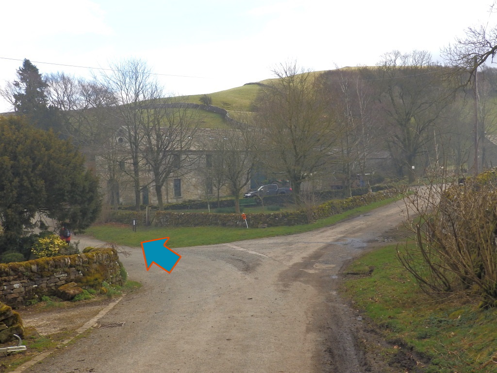
Do you remember that time in The Simpsons when Homer went to college and stole the rival school's pig mascot Sir Oinks-a-lot? Something says all of this related malarkey might be down to both sets of pranksters partaking of 'urr, drinks-a-lot'?
Admittedly, not SlyBob's best work.
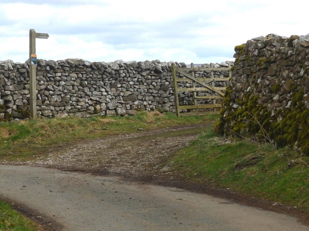
Head up to leave the tiny village and just as the lane goes left, take the the track on the right through the gate. This walled track starts with decent views of Wharfedale as you descend down past Skulberts Hill.
It's doubtful that the small group of young Christians having a sing-song have a permanent residency here. They were all being very celebratory about some guy called Mike rowing a boat to the shore or something.
The crags that you'll soon see to the south-east don't actually exist because all the maps have been checked, printed and digital, again.
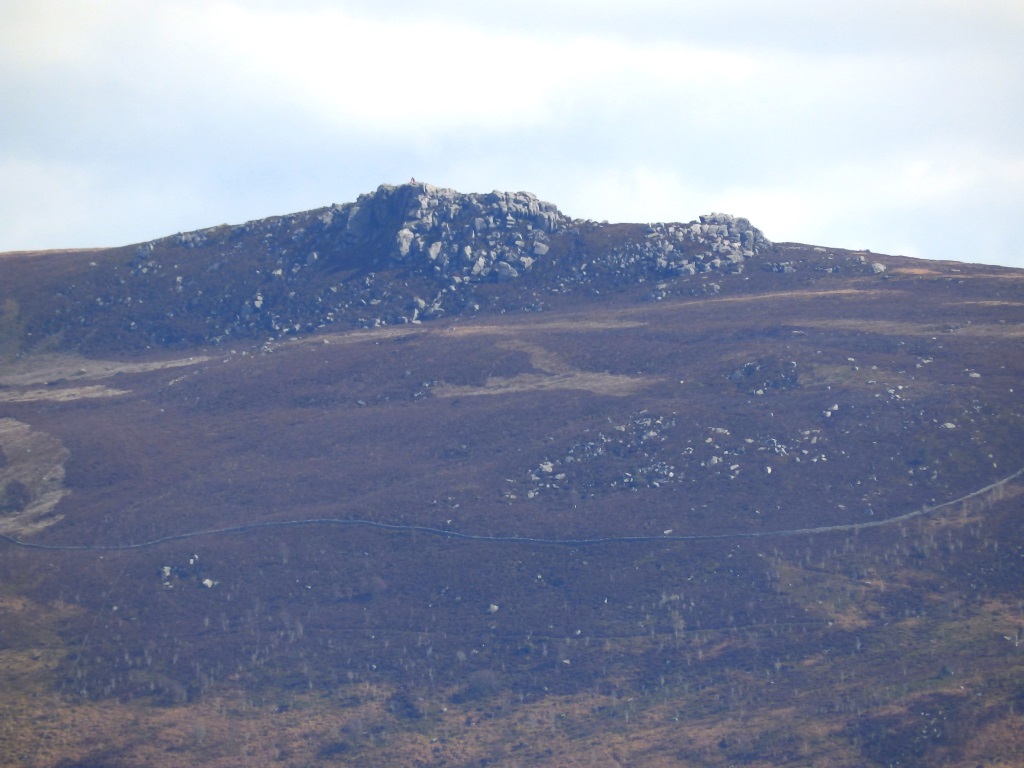
Saying that, it might be Simon's Seat, a 1500-foot-high hill that's popular with people who are out for a proper walk.
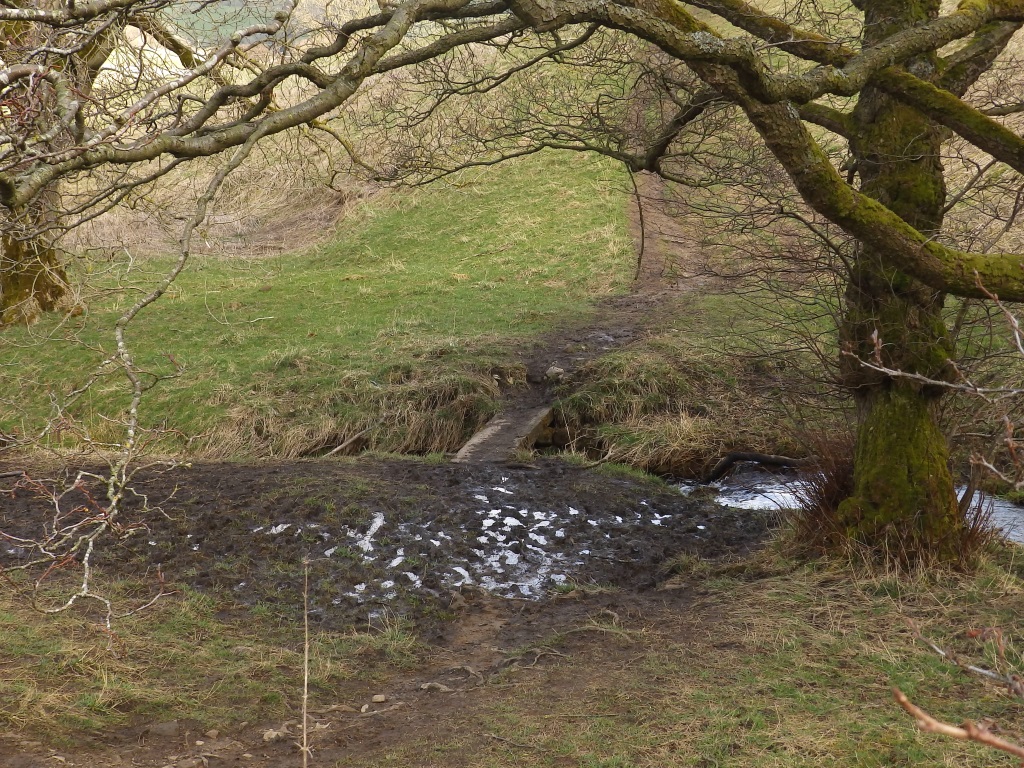
Having crossed Starton Beck, there's really just a rather dull sequence of fields to cross where you'll have to squeeze inelegantly through a few of these.
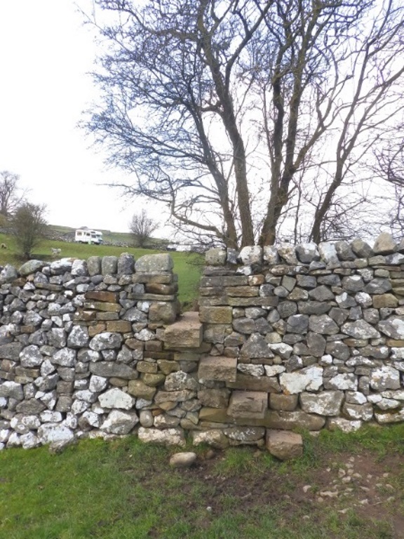
Aaaw! Wook at the widdle wamb!
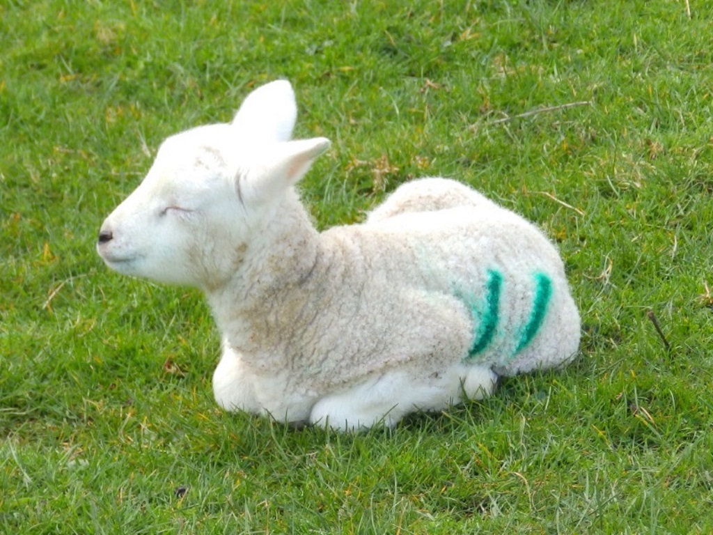
There was a bit of concern that this particularly fresh 'un had been abandoned. A quick look around though and there was mum, not too far away...
With her head in a bucket ha-ha-ha!
Shouldn't laugh really, carry straight on ahead and back to Burnsall where that party in the Red Lion awaits, remember.
