There are spectacular red sandstone cliffs, stacks and blowholes supporting coastal grassland, sand dunes and woodland, alright, and you get at it via a leisurely area just north of Arbroath where that's another story.
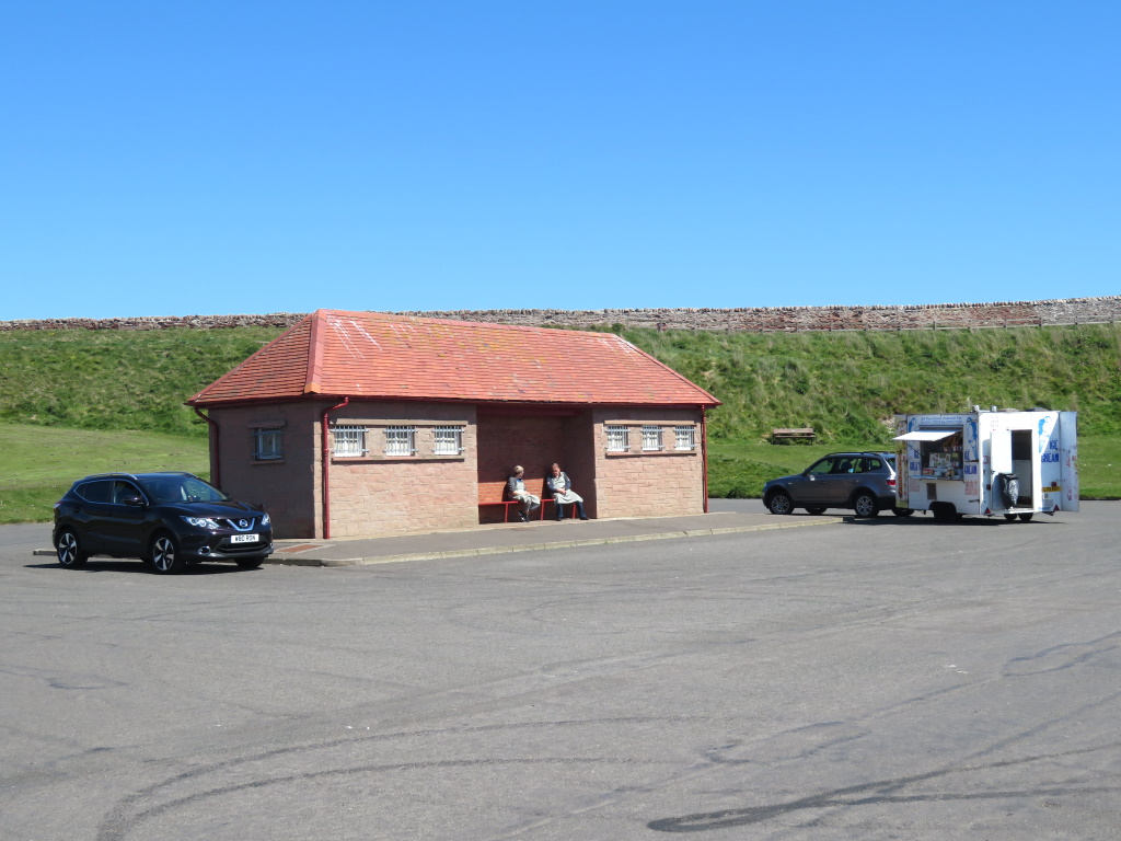
There's a burger van and a block of lavs for your convenience before a linear, clifftop path that isn't too much of an up and downer.
There's no real need for an OS X382, it's just out and back the way you came with you deciding how far to take things.
That might involve breaking all the rules but there's a sudden hankering for a summer fruit pudding that, rather surprisingly, is available for more than two weeks of the year up in Angus, apparently.
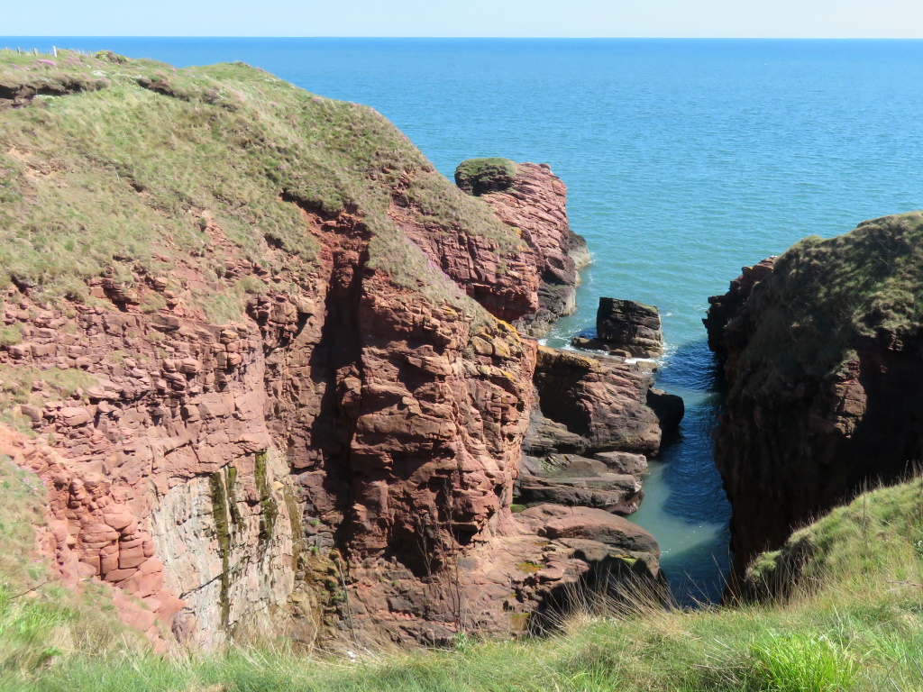
If you're in any doubt about spectacular red sandstone cliffs, stacks and blowholes, there's an immediate introduction to your surroundings for the next couple of hours.
Geology nuts will be delighted at the sight of a geo, an inlet caused by wave-driven erosion of cliffs along faults and bedding planes in the rock, it says here.
Following an uplifting experience, and the ending of an ice age, the wind and water really got to work, which is when the weathering started.
Sure, there may be plenty higher but these ones are red, 400-million years old and define this stretch of Scotland's east coast.
A geo? A gloup sounds much better but that's more of a collapsed sea cave and you'll have to head to Orkney for that.
Caves, as you know, are often enlarged by several combined processes of marine erosion. Erosion is more typically backwards through a headland to form arches.
As sea caves grow landwards and upwards into vertical shafts and expose themselves towards the surface, hydraulic compression of sea water may be released through a port from the top of the blowhole, it says here.
Technical stuff, indeed, but both are sold as attractions by the Scottish Wildlife Trust. They oversee all that overlooks the sea, you see, including the biodiverse, wildflower meadows behind, not shown.
That must make this an arch, then? And this a blowhole?
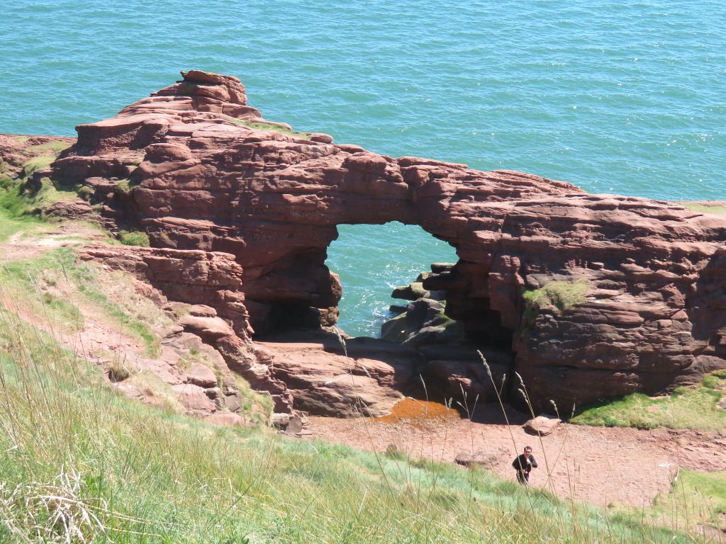
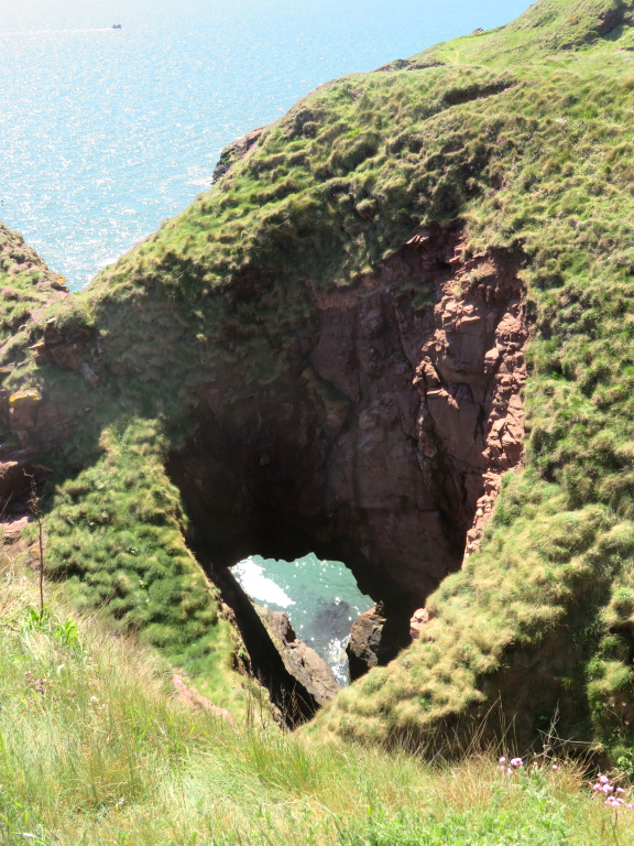
Apart from the obvious erosion, they do both have one thing in common. You can see right through the pair of 'em and yes, that is the level of knowledge being dealt with here.
The environs lend a distinct identity as do several accents heard on the footpath.
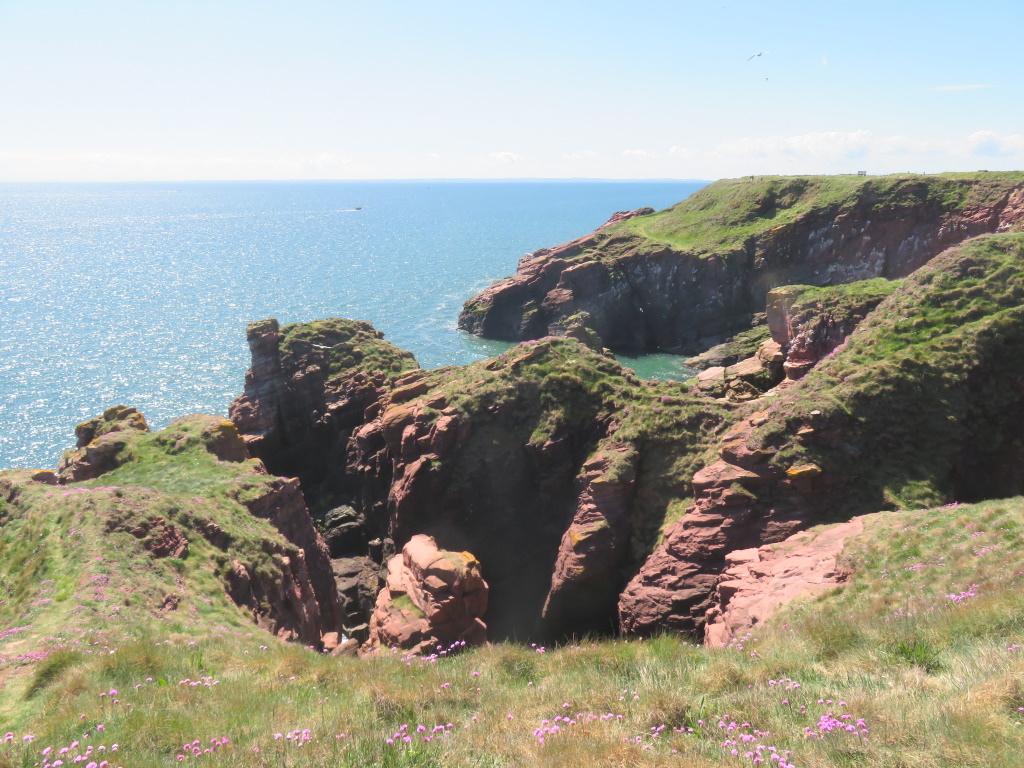
It's like the United Nations along here with Eastern Europe particularly well represented together with Germany, France and a Yank on a mountain bike, idiot!
He thinks it's a good idea to cause folk to get a closer-than-they-would-like look down into Dickmont's Den, another geo but this one is on a much larger scale and requires quite a diversion around.
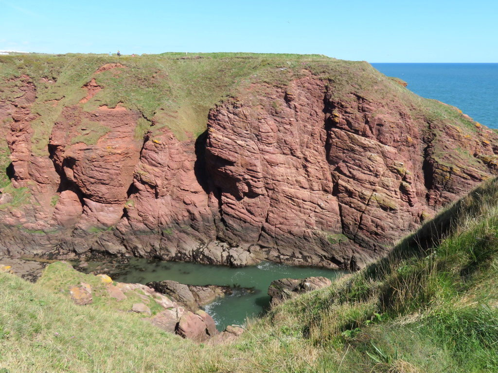
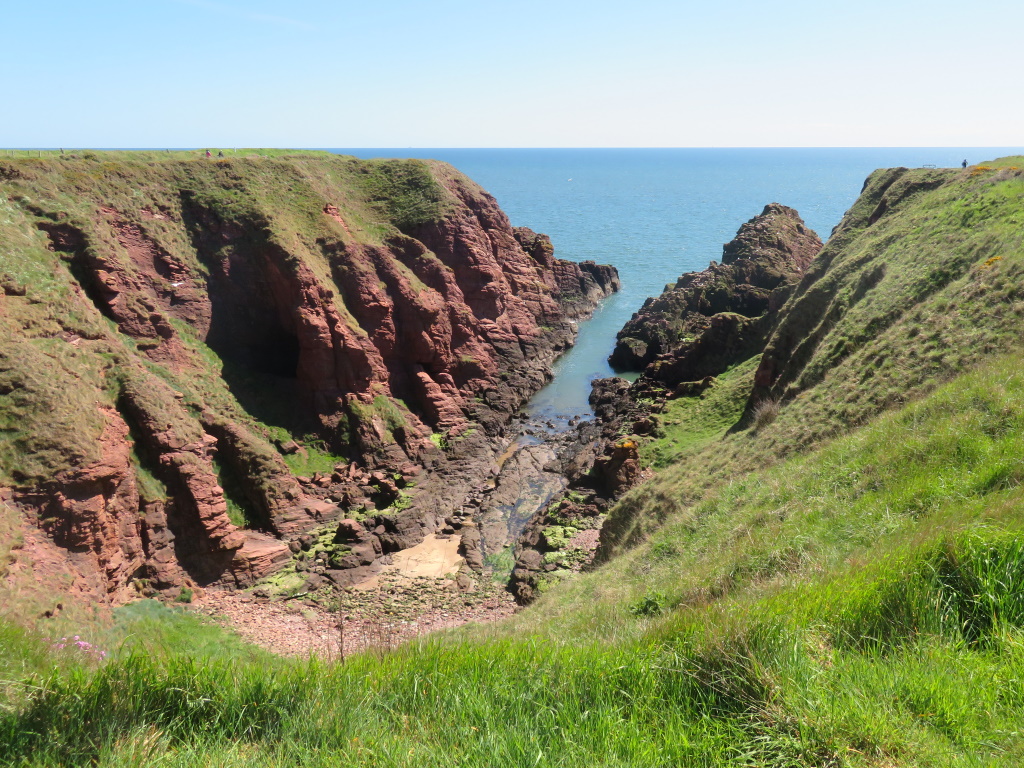
It's not known who Dick was although it's likely to have been the devil, it usually is. Pratting about doing something impractical, he's inevitably outfoxed by the populace giving rise to a named, geographical feature.
What is known are the tales of smugglers and the caves you can still get down to although you'd either have to a complete idiot or have a pretty good handle on the tide tables to do that.
Or be a smuggler?
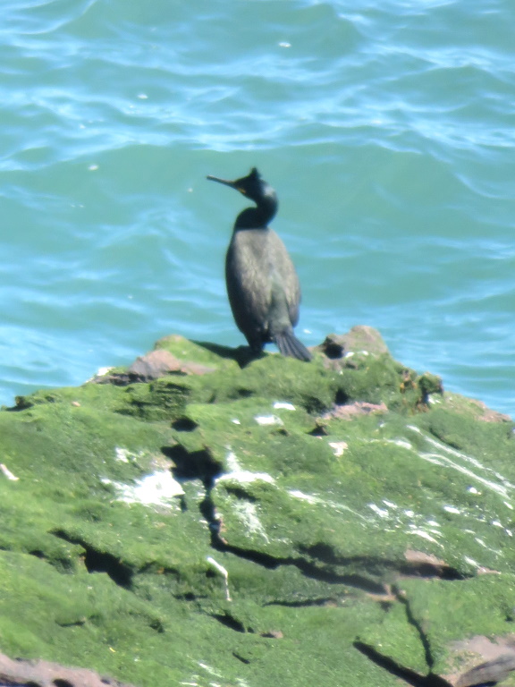
It's slightly too early in the season to be eyeing up the birds but there's a healthy population here from the middle of May onwards. Today, it's just a slightly blurry and solitary-looking shag looking to do some fishing as is this chap who has somehow made his way down.
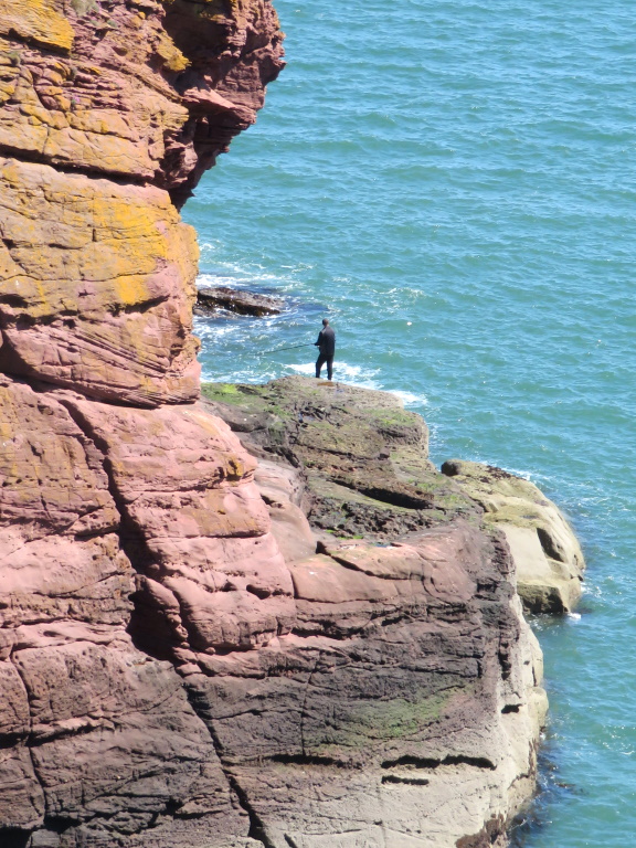
The place is an occasional draw for other daredevils who have no such Health & Safety concerns as those concerned with Health & Safety. While it's not actively encouraged, cliffjumping and tombstoning footage can be sought on the internet and made availble by those who can only be described as internut-jobs, right zedders?
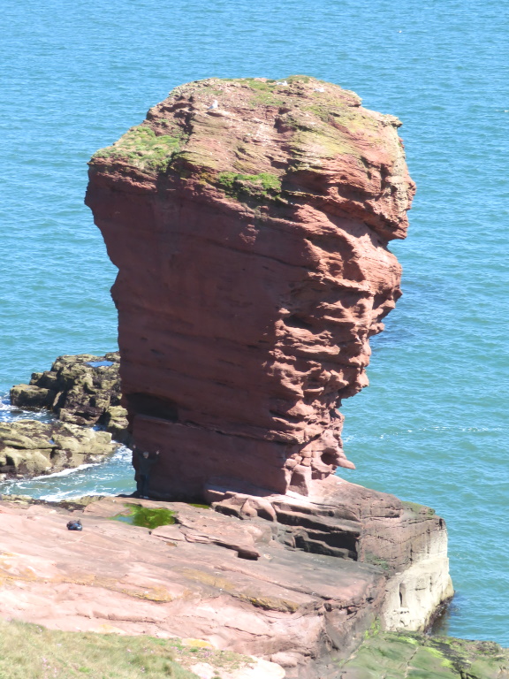
While there may be some difficulty distinguishing between the arch and the blow hole, this one is definitely a stack, definitely. The Devil's Head or the Deil's Heid if you want to go all native, Old Nick gets the mandatory mention although there's no sign of a local legend as to the whyfors.
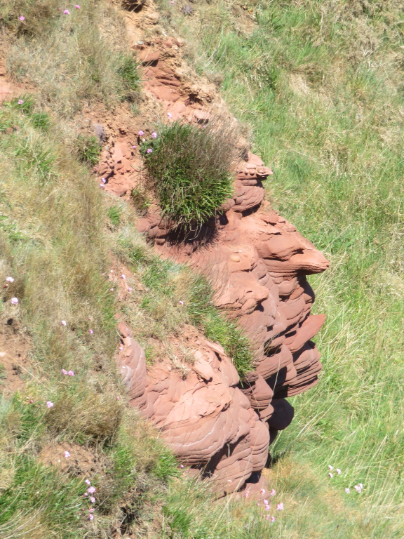
This could also qualify, perhaps, although it's a bit more Big Chief Sitting Bull than Beelzebub.
The path bends round to the left but not because of no geo, no, just a kinky bit of coastline. There's a small diversion to be done through a copse but the signs aren't good today and some rebellious ramblers are soon seen returning.

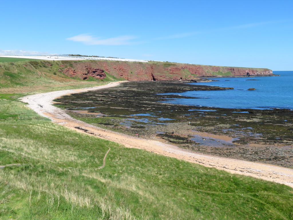
The alternative is down and back up via the beach on Carlingheugh Bay where it's the same distance again to refreshments at Auchmithie but the cliffs have stopped showing off by now and, should you be hungering for a picnic, there's a chance for some fruity nick-picking.
It's definitely not suggested you do, it's definitely not, but the farm behind you has 130 hectares full of soft fruit or nearly 200 football pitches if that's easier on the mind's eye.
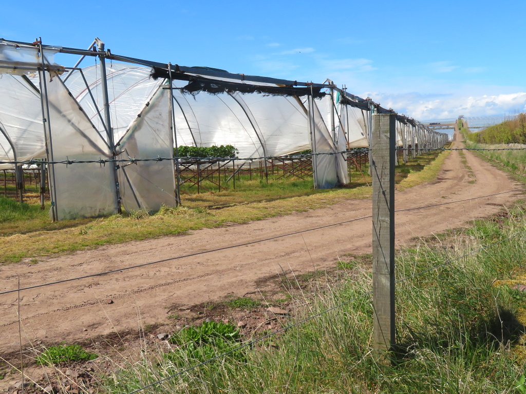
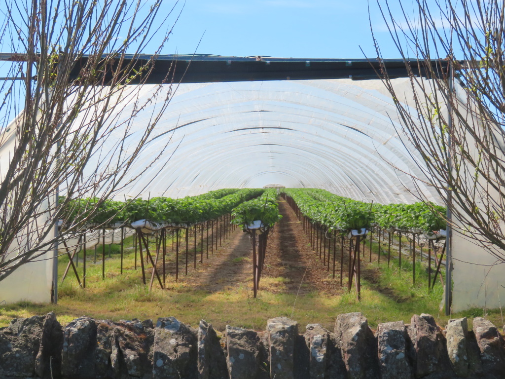
Most of your big berries are covered, literally by polytunnels, straw, rasp, black and blue and if you chuck in a Chuck, that's just about the full set, eh?
At least there will be in the coming weeks, they can only grow for six months starting in early May, you see, so the bushes aren't exactly brimming. That means any ideas of vaulting the barbed wire will have to wait and you can go and tuck your tank-top back in.
Yes, it's known that you know a strawberry isn't technically a berry but nor is the raspberry or the blackberry, neither.
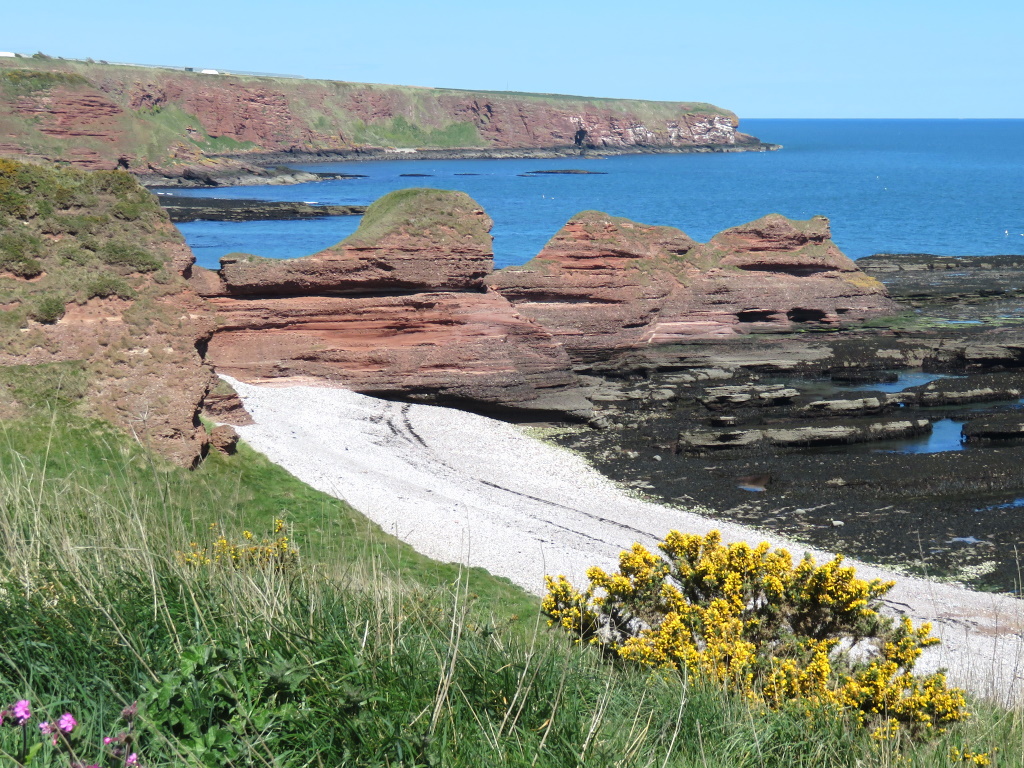
Refreshed in Auchmithie or not, it's back the way you came past the Camel's Humps and another Deil's Heid although this one isn't quite so creepy.
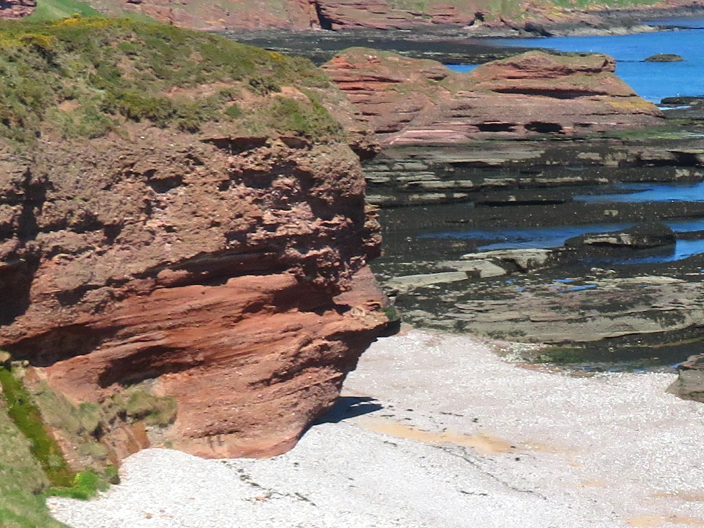
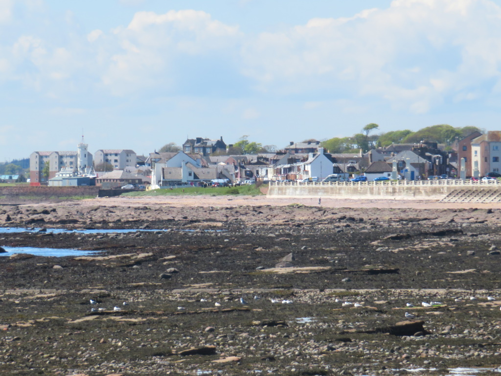
Meanwhile, back at the car park, a nice view of Old Arbroath and her fleshpots now beckon, appetites whetted by pots of fleshy fruit.
Sat down with a big plate of pavlova, however, the texture's not quite right. It's all rather stodgy so it's necessary to ask...
Excuse me, is that a cake or a meringue?
'Na, yer richt. That is a cake!'
Just like the cliffs, that one's been around since the ice age and as for pavlova in Arbroath? Well, you'd be surprised.


