 UK
>
England
>
North Yorkshire
May 2013+
Map - OL27 - NORTH YORK MOORS - EASTERN AREA .
Distance 5 miles Strenuousity 2.
You know the one about pampas grass in your garden advertising the fact that you're into 'swinging'?
Well, what about those fake, Roman columns that you also see outside people's houses? If there's a lion's head on top, it means the owner has been to prison... for killing a man! Not really, that was just made up.
A bit like this walk only this time by looking at a map and not trying to write a pilot episode for a serial drama that sees a meek and divorced English teacher supplementing his child maintenance payments by tutoring illiterate prisoners only to become enmeshed with a Serbian crime boss and his murky underworld.
It's called either Serbs and Verbs or Please Serb and stars Ray Winstone as the main baddie unless he can't do the accent, which is likely, so it'll just have to be set it in Wormwood Scrubs and called something about 'sentences'.
This is in the northern bit of the North York Moors National Park and your OS OL27 is right on the cusp.
This nigh five-miler heads north from near Danby up onto moorland and a fine viewpoint before descending to the Esk Valley and back home via the river.
The uphill isn't too arduous and the downhill even less so. Give those binocs in the boot a wipe because these views will hold you captive, just not at Her Majesty's pleasure.
You can park up with the skinflints in Danby village and walk the 10 minutes or so to get here, the Danby Lodge National Park Centre. Or you can stump up four quid, happy in the knowledge that you're funding the conservation and the upkeep, probably.
Leave by the way you drove in and turn left onto the road.
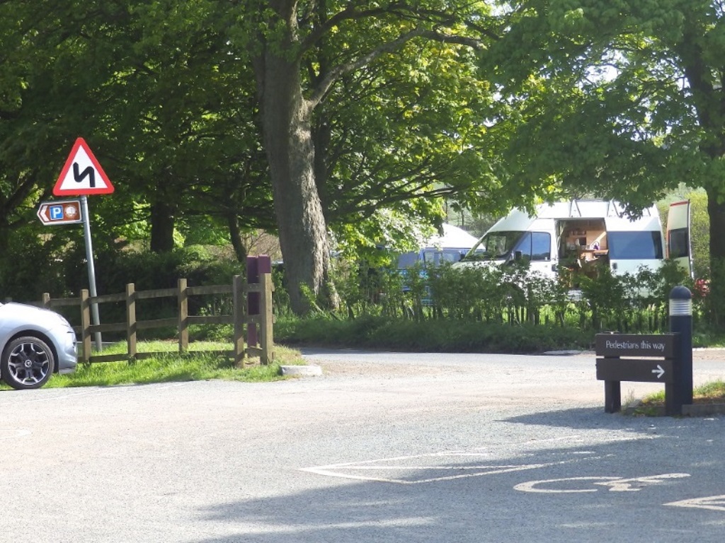
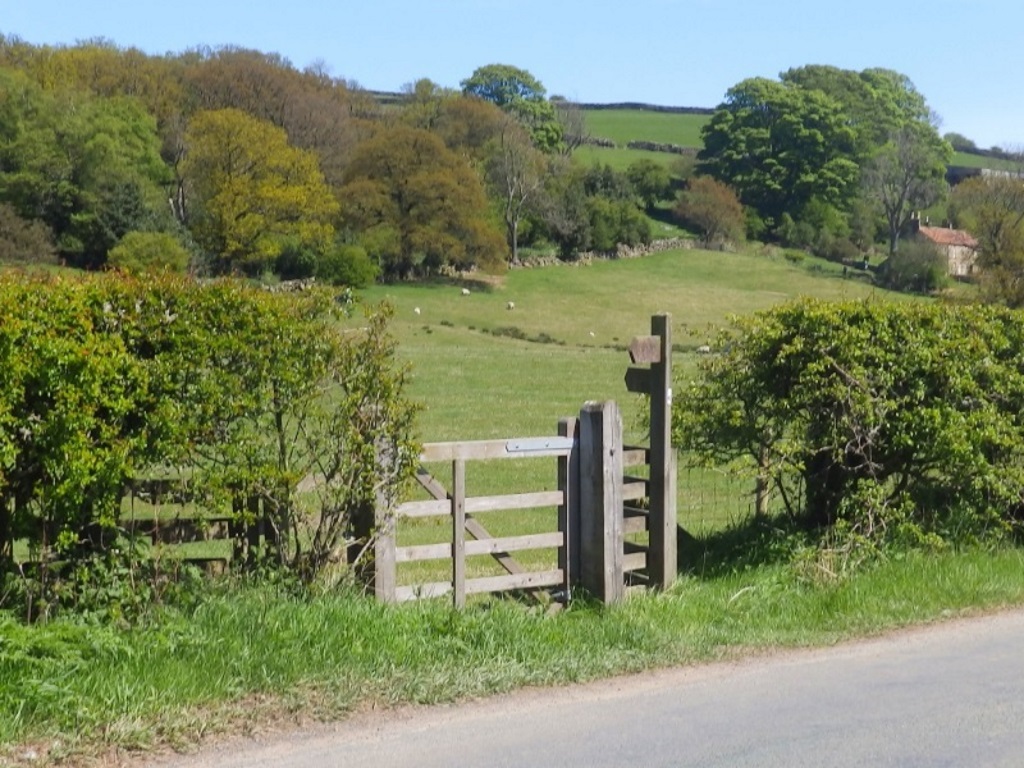
It's about 200 yards to this gate on your left. Take it and head for the top right.
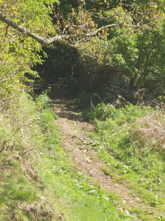
Turn right onto the clearish path where it soon goes a little bit horror movie. If you don't emerge from the dark, wall-lined, tree-covered tunnel, at least anyone finding your bloodied camera will know what you did last summer.
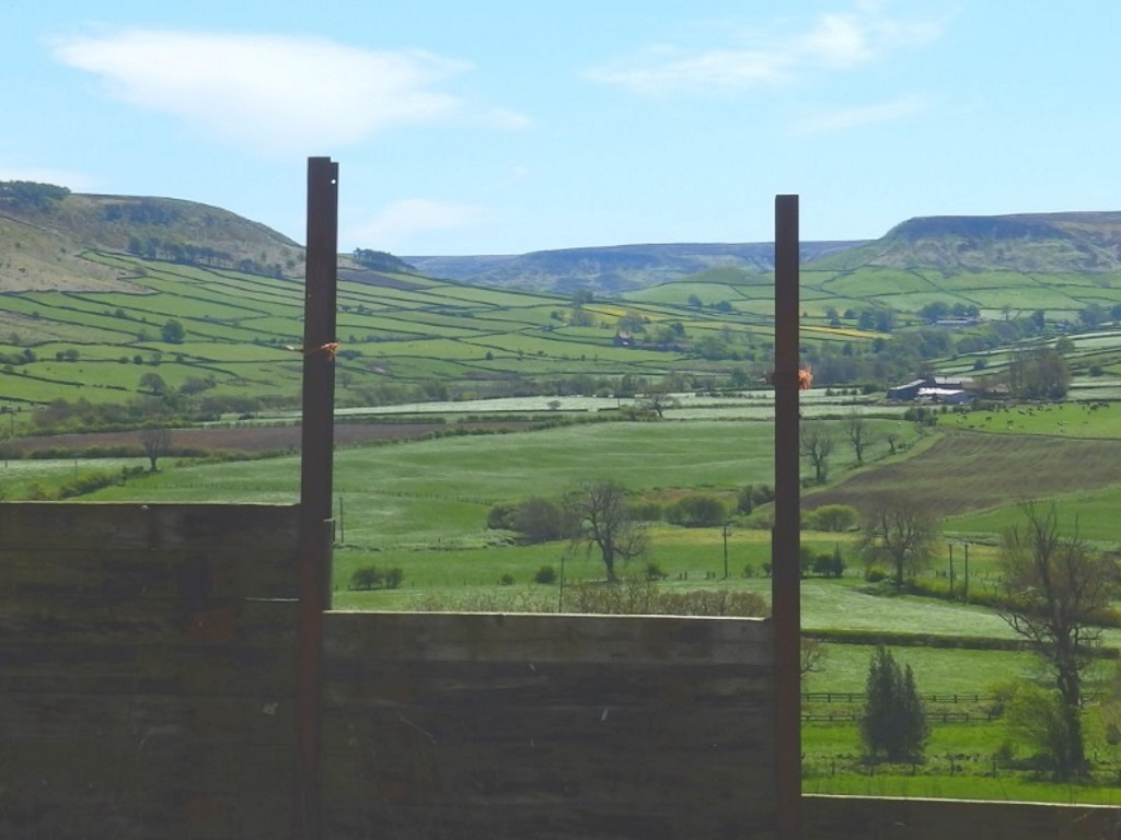
Emerge unscathed into a farmyard with some howling hounds. Nice view on the right up Little Fryup Dale but more on that in a minute.
Just after the farm, take the walled path on the left and upwards. Not wishing to go all Wickes™ on you, the surface is best described as powdery aggregate.
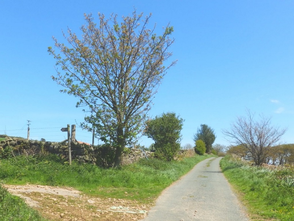
After 10 minutes you'll reach a gate and the start of some proper moorland. This is wild and remote country, just be on the lookout for any cars on the road you need to cross.
They would in the past have been described as a pair of lazy so-and-sos but the elderly driver and his wife look like SlyBob will in 10 years time so, nothing wrong with a friendly wave, eh?
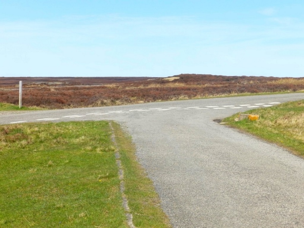
Pass some lapwings on the left, not shown, before giving way and turning right at the junction.
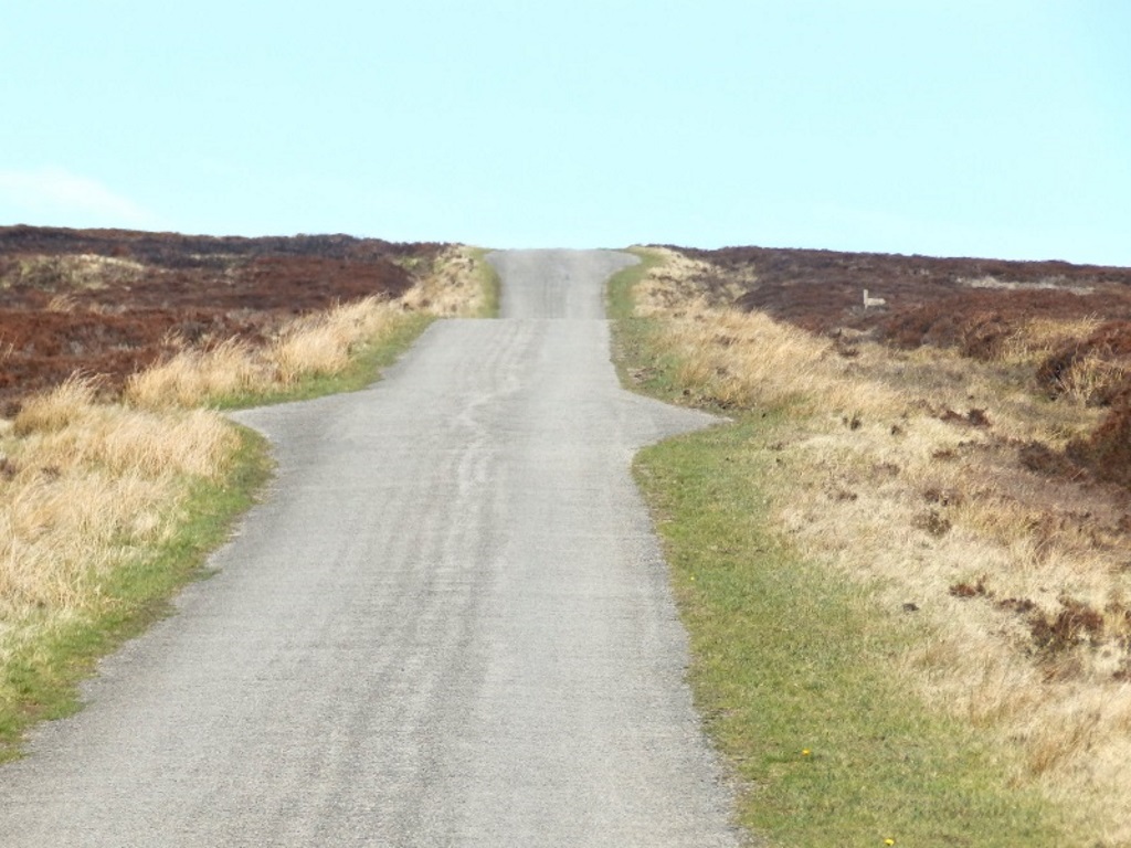
Follow the straight road gently uphill for just under a mile. On your right, you might see the unmistakable meadow pipit, male, probably.
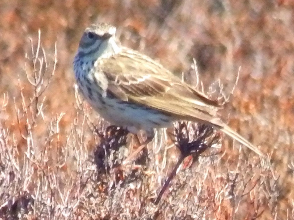
When it's said unmistakable, it might be a tree pipit but that's unlikely because there aren't any trees. Or it might be a woodlark but that's unlikely, see previous. Or it might be a rock pipit because there are some rocks nearby but it's probably not that straightforward and Bill Oddie would have known in a flash!
Look right and behind a bit for a nice view over Esk Dale, it's thought.
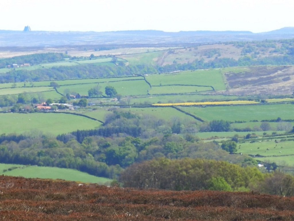
The prominent structure in the distance is the radar station at RAF Fylingdales. It did most of its best work during the Cold War but it's still plugged in and you might want to maintain radio silence if you're up to no good.
They used to be 'radomes' or golf balls to those in the not-so secret service. In 1992 they were replaced with the much more advanced, as you know, Solid State Phased Array Radar that you now, can just about, see today.
The top of the hill being headed for has been a lookout point since the days of the Armada. During World War II, it was the site for a small, RAF early listening radar station with 300-foot-tall metal towers.
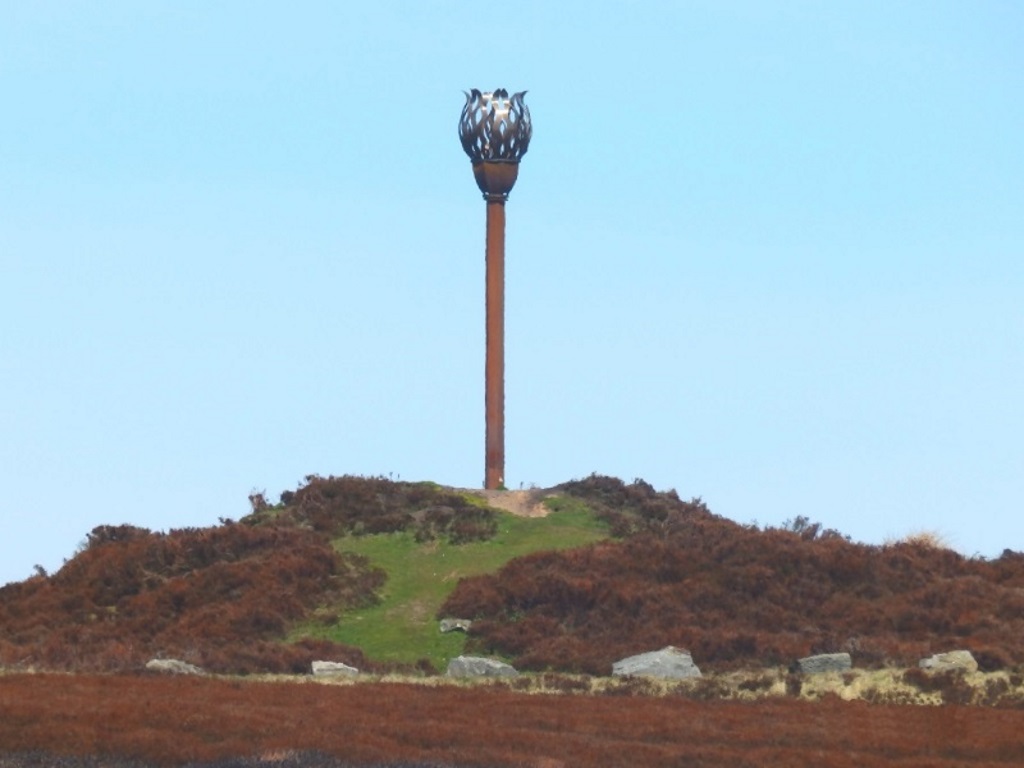
They've since gone but there's something new and metallic on it now.
Made in Middlesbrough, the Danby Beacon is a nice nod to the notificational and in 2008, over 200 hardy locals were here to witness the unveiling. When it's said 'hardy', however, you can drive up here remember.
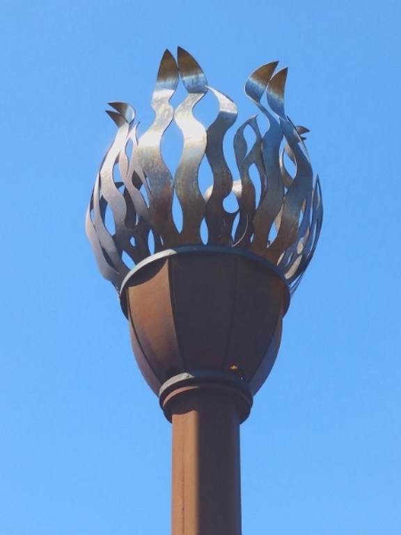
The bronze is symbolic too, several burial mounds from the age have been found nearby. This thing runs on gas and they still put the occasional match to it.
Got your binocs? Take a look and see who's out sailing on Scaling Reservoir. Pan right to take in the sea, keep going, keep going, Whitby is down there somewhere.
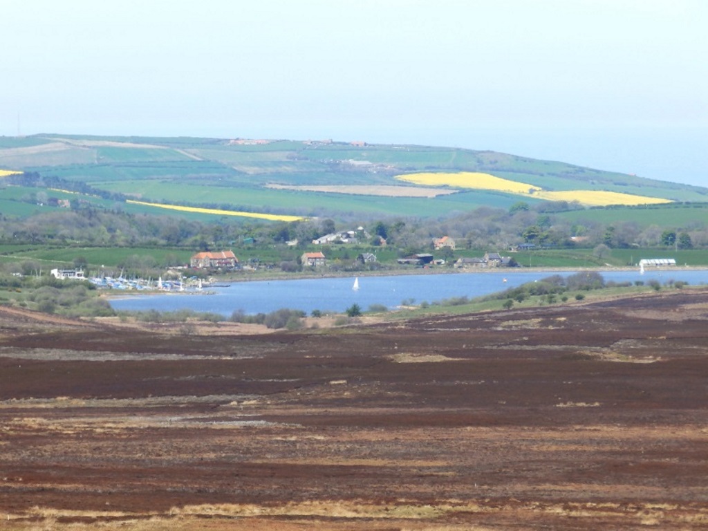
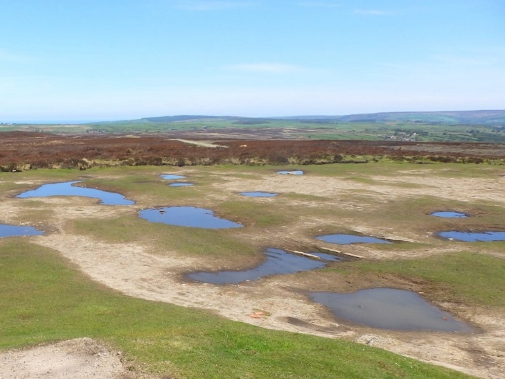
A bit of luck with the weather today and these pics don't really do the panorama justice and it could have been stared at until sundown, superb.
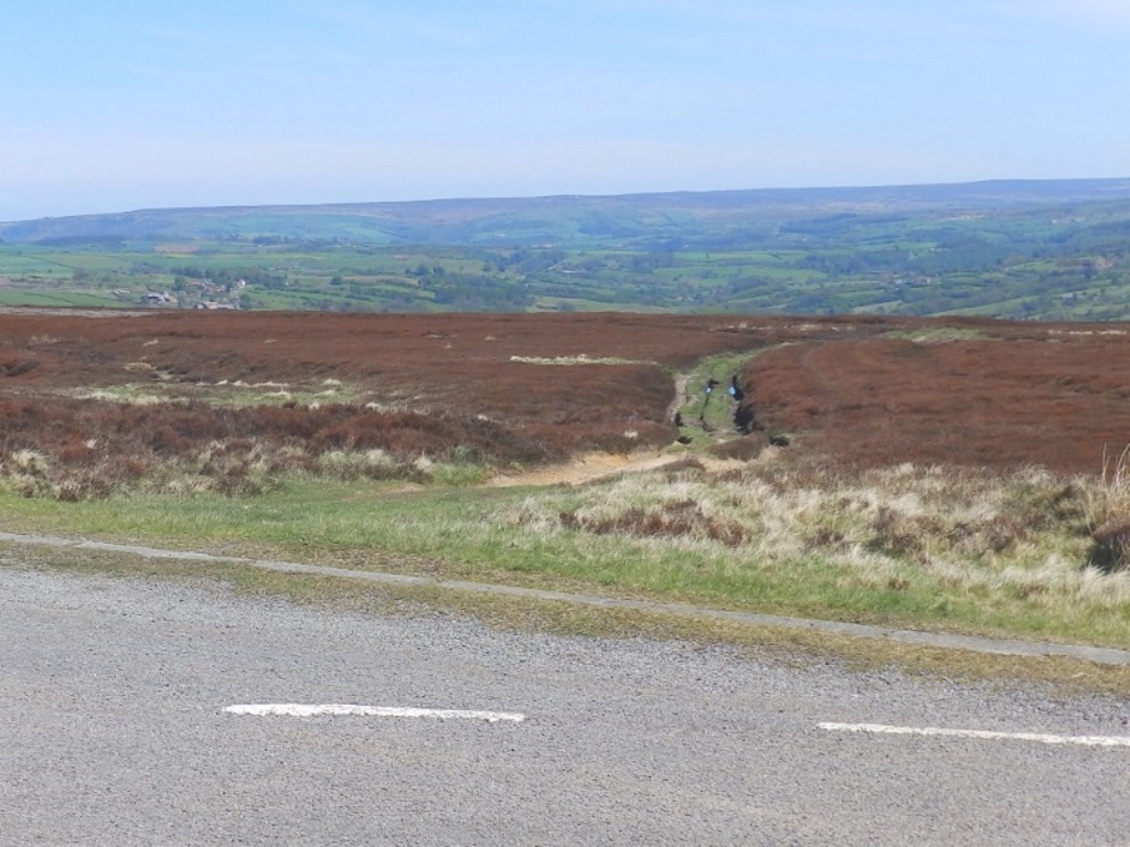
No, fish & chips in Saltburn beckoned so take this track, just at the junction where the road bends.
The track is likely to be a 'mudder' and you'll soon pass down past these butts.

Toffs hunker in the bunkers shooting at grouse from here so you're not likely to be wandering down here mid-August. What's wrong with a game of darts? They say that's a 'sport' as well.
You'll soon reach some rocks from which there are great views up the Fryups. Great Fryup Dale on the left and the visible separation from his little brother who was looked up earlier.
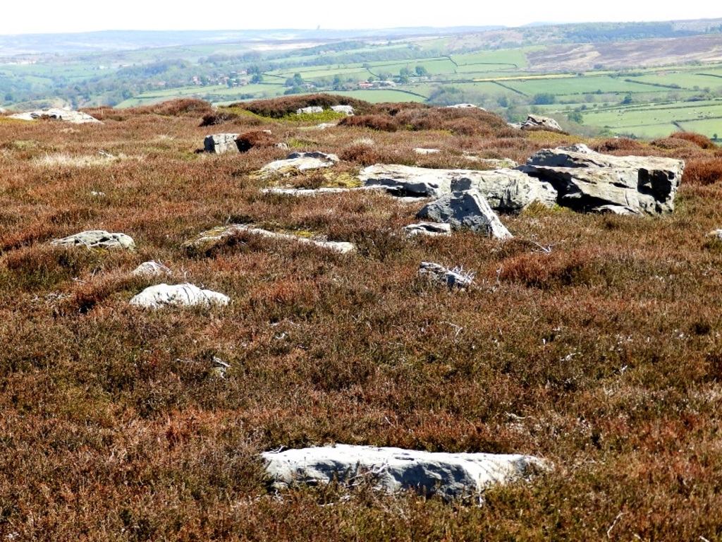
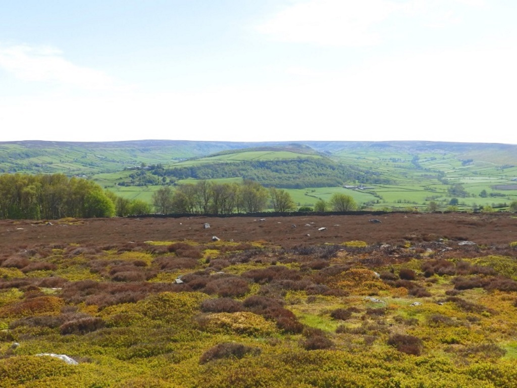
The local B&Bs are missing a trick on the second-B front, there wasn't a single advertisement for one, a great fry-up that is. Meanwhile, up in Granola Dale and Danish Pastry Dale...
Fryup, by the way, from Olde English for some old goddess or other.
Where the track meets a road, there's a gate marking the start of a steep one-in-four-er going downhill.
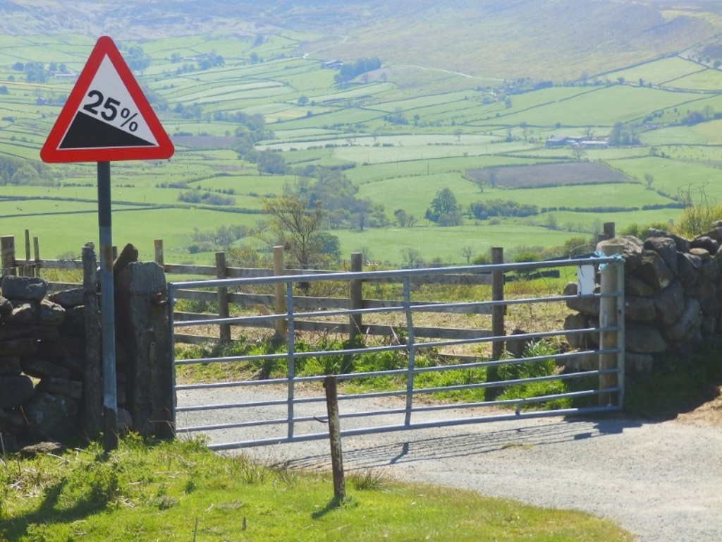
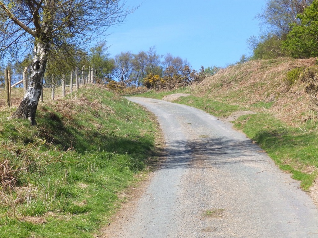
The signage wil have you chuckling... 'One from the top please Carol.' Or Rachel depending on your age?
A professional-looking cyclist went flying past. By the look of him, he was in training for the Tour de Yorkshire. By the speed of him, he was in training all right... training to win it!
After the bank bends, you come down to the small hamlet of Houlsyke, famous as the only Esk Valley village without a pub.
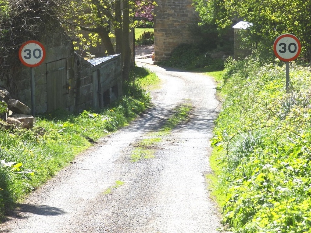
'Two more from the top please.' 30 and 30? This is a funny numbers round?
It's certain there was a weather vane with a witch on the house on the left but no sign of it after uploading. As Dick Dastardly might have said... 'Curses!'?
Turn left onto the road out of Houlsyke and after about 300 yards, see the stile on the left? Ignore it. It's a fine stile but you want the gate on the other side of the road.
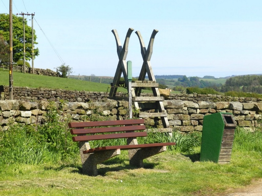

Head south through a field until you reach the Esk Valley Railway line. Careful as you cross now, you might want to Stop Look Listen although Listen Look Stop works equally well.
You'll probably be fine, there are only four or so trains a day but don't get too excited. They're not choo-choos, They run between Grosmont to the east and Pickering. These are standard commuter carriages on a community-funded operation between Whitby, via this picturesque valley and Middlesbrough.
The trip takes about an hour and a half and they even run a boozy service on Fridays. Don't worry, they proudly advertise a bog on board.
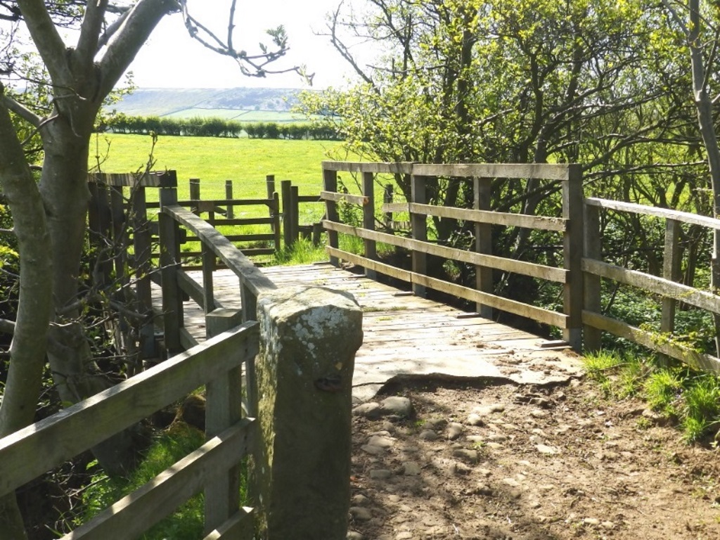
Continue ahead after the railway line where there's a bridge over the River Esk, which isn't much more than a trickle today.
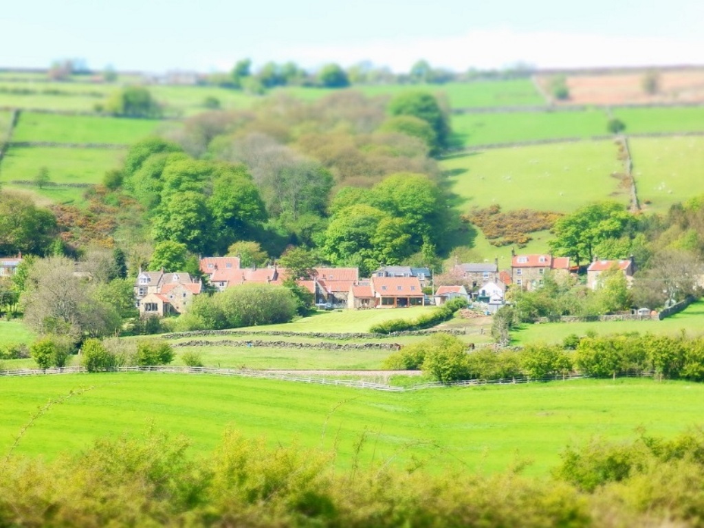
Turn right after a stile onto the road you soon reach. There's now not a great deal to see along here so just set your camera to diorama and look back over to Houlsyke.
When you reach a road bridge, there's an option to take a path off to the left. This avoids the road for the next mile or so, which despite being pretty quiet is, nonetheless, still a road.
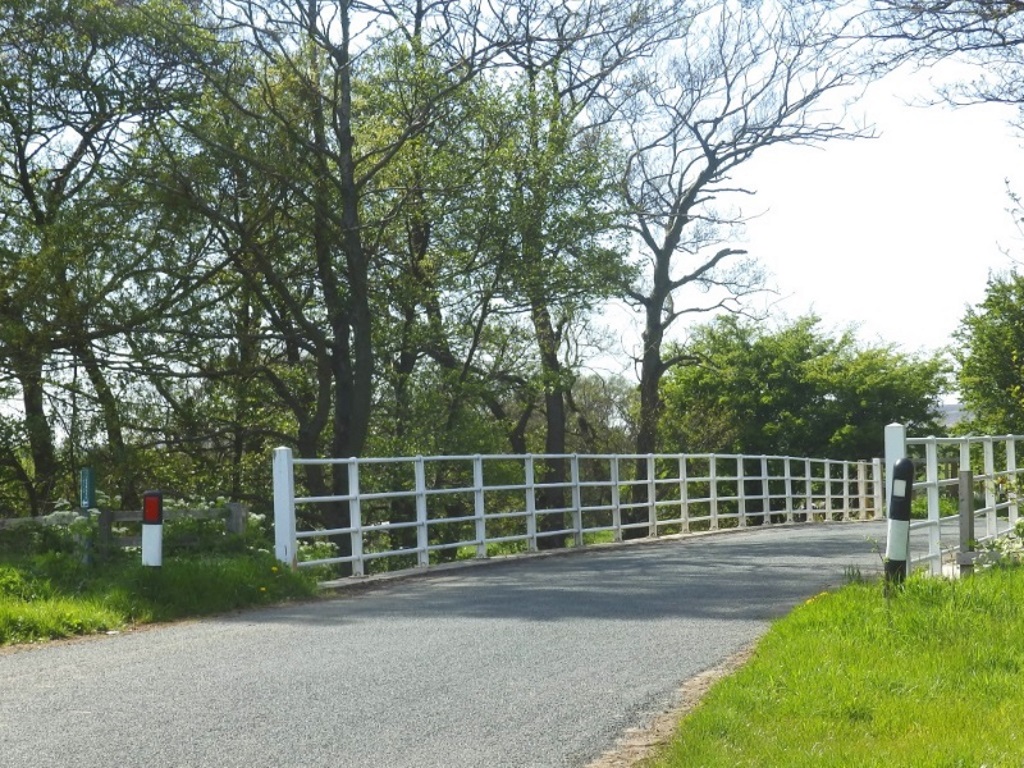
If you feel those fish & chips in Saltburn, however, already getting cold then just stick with the road. The next mile or so along it really is quite dull so it was thought best to wait until now to mention that.
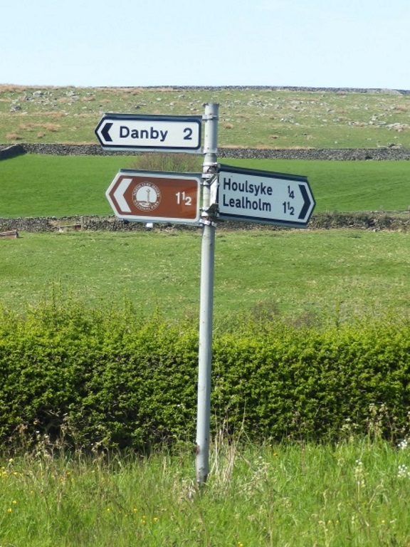
There's not a great deal to see or do other than making sure you follow the sign to Danby at the major three-way intersection then ignore going under this bridge when you see it on the right.
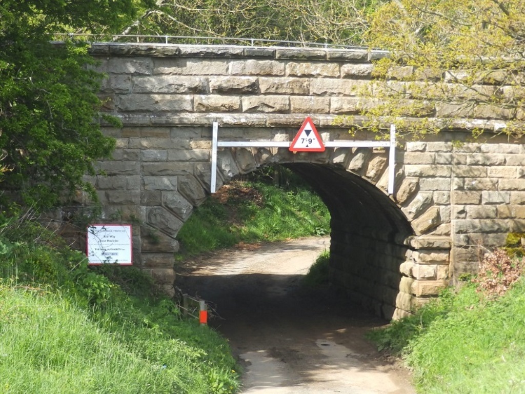
'Two small ones please.' 7 and 9, that's better.
At last! Some action! You should be able to see what's left on the left of Danby Castle.
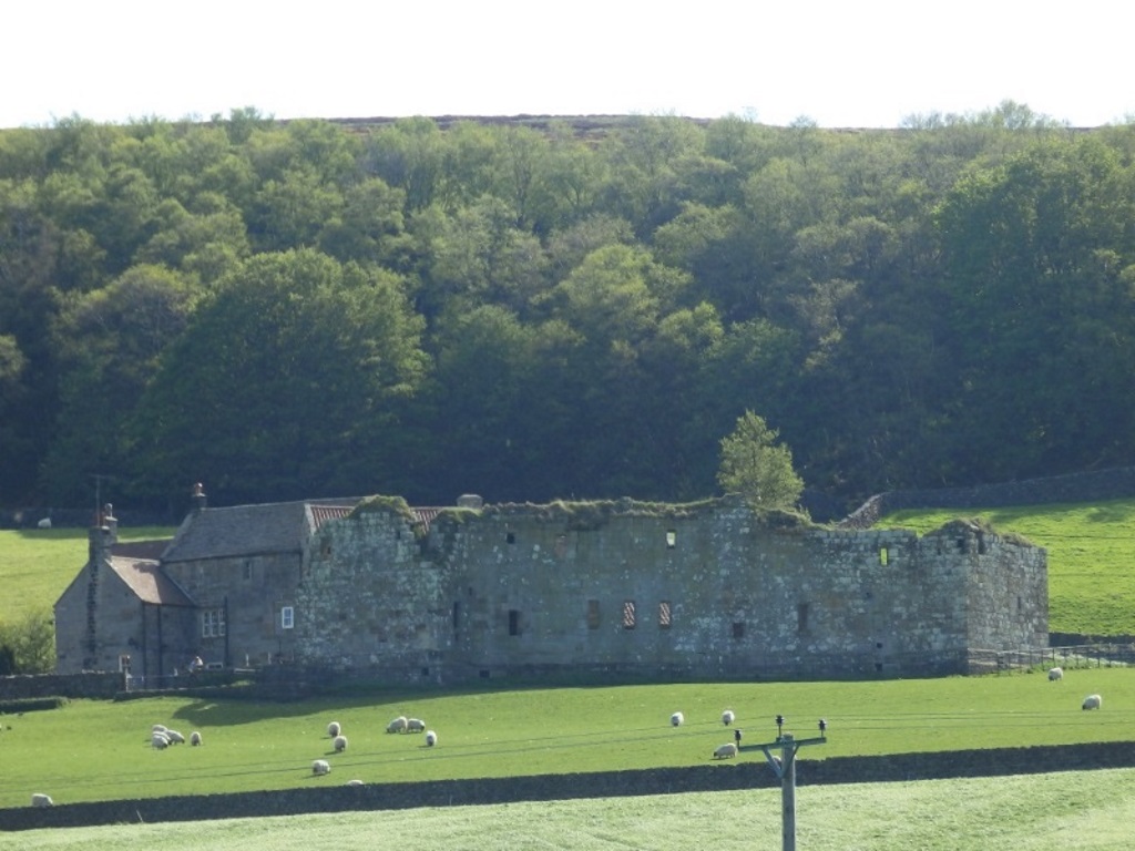
Not that there were any ding-dongs going on here back in the 14th century, local estate owner Lord Latimer simply built this to show off a bit.
It doesn't seem to be open to the public but you can get right up close, close enough to gatecrash one of the frequent weddings that it now hosts.
When the road sweeps right to go under another bridge, keep straight on the even more minor road. You'll soon come to Duck Bridge, which is nearly as old as the castle.
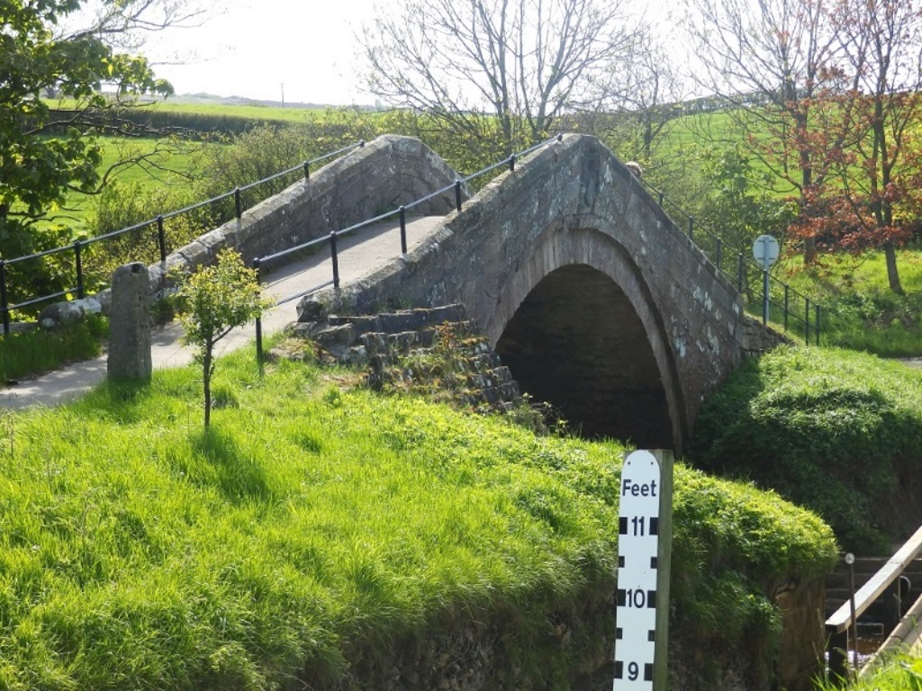
No, it's not a bridge for ducks, that was the surname of the chap who patched it up in 1715. That's a shame, just had a great idea... Pigeon Helicopter?
It's unsuitable for cars and you'll have to take your Ford™ down through the ford, no worries today on the floodometer front.
Turn right over Duck Bridge and follow the lane up.
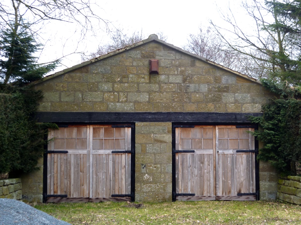
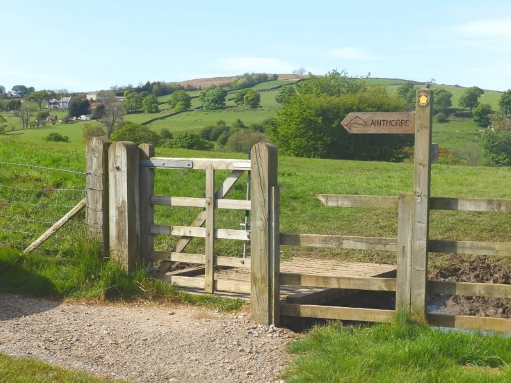
Just after you cross the stream to pass a vivid pair of garage doors, go through the gate on the right since no one ain't goin' to no Ainthorpe.
Pass some friendly Friesians in the field, not shown, before the clear path brings you back to the railway line that, after you Stop Look Listen or Listen Look Stop, needs to be crossed.
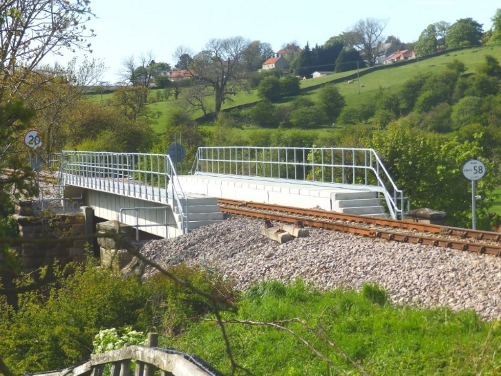
DO NOT! It must be repeated DO NOT! cross this new-looking bridge. It's said DO NOT! but not because your life is in any danger, there's simply no idea where that way will bring you out.
'One more from the top please.' 20? And today's number is... 058.
It's a short hop through the next field and over the river with more cows in it to arrive back at the centre. They've laid on some child-friendly entertainment in the form of woodland trails and a play area.
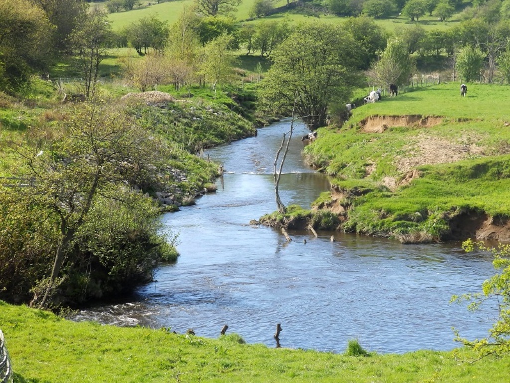
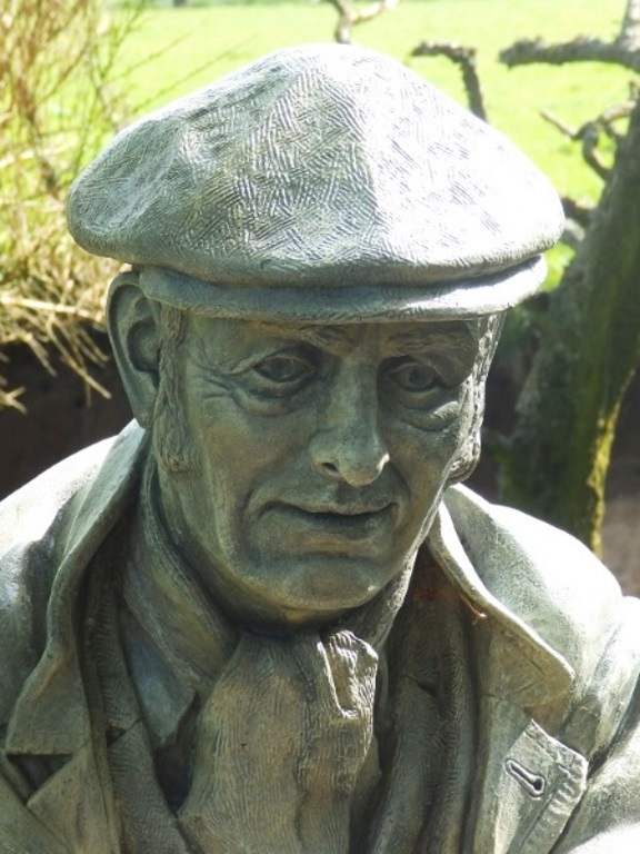
This fella had no idea what time the café closed but push the right buttons, however, and he'll fill you in on the history of the ironstone mining.

(25 + 30) = 55.
(30 - 20) = 10.
(10 - 7) = 3.
(55 + 3) =
58.
Simple really. Didn't even need the 9.
